
Image: Hung Ta-Chen's Map
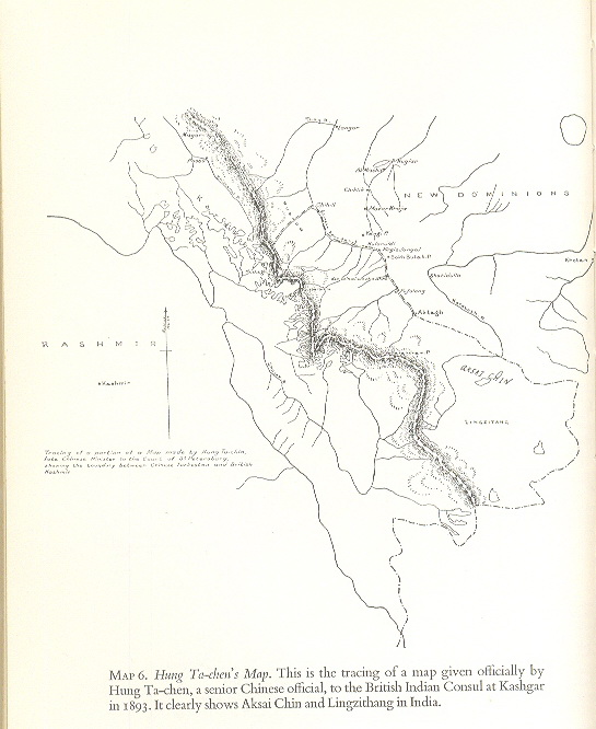
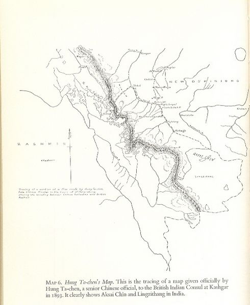
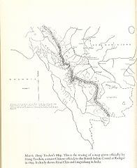
Description: Hung Ta Chen’s map. This is the faithful representation of a map given officially by Hung Ta Chen, a senior Chinese official, to the British Indian consul at Kashgar, in 1893. An imperialist map of the Chinese during the relevant period, It clearly depicts the major part of Lingzi Thang, Aksai Chin and Raskam areas in Kashmir as part of Kashmir. The boundary, marked with a thin dot-dashed line, matches the Macartney-MacDonald line, which China believed was the border. The source and creator of the image is Hung Ta Chen and the Government of China of the relevant period i.e. 1893 and the map shows that the portion of Aksai Chin to the west of the Macartney-MacDonald line was not disputed but is an integral part of Kashmir. The map is reproduced in all “noteworthy” books dealing with India’s border issue, including “Himalayan Frontiers” by Dorothy Woodman published inter alia by London Barrie and Rockliff The Cresset Press 1969.
Title: Hung Ta-Chen's Map
Credit: Government of China
Author: Government of China
Usage Terms: Public domain
License: Public domain
Attribution Required?: No
Image usage
The following 2 pages link to this image:
