
Image: ISS-31 Linear dunes in the Great Sand Sea in southwest Egypt
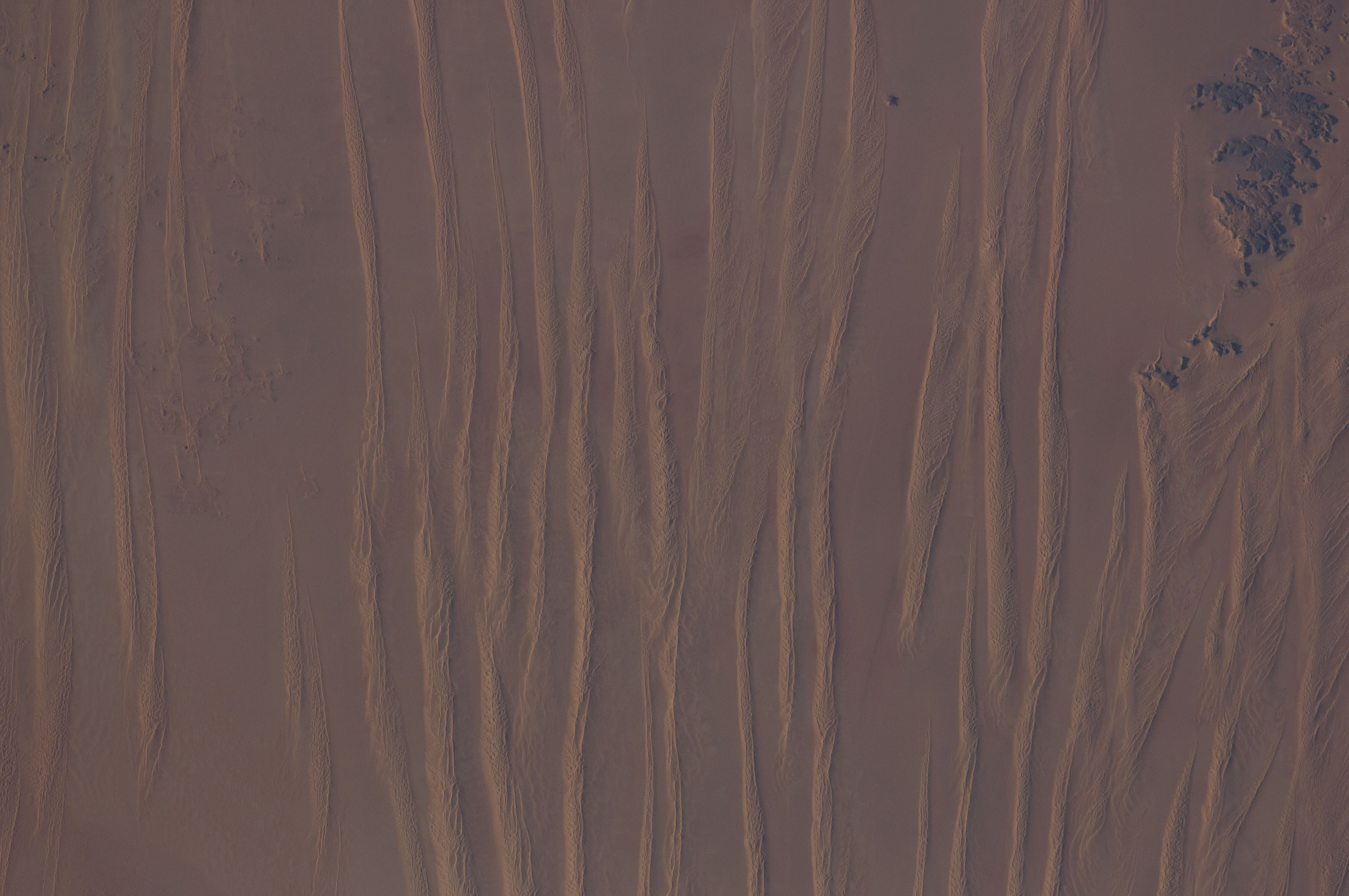
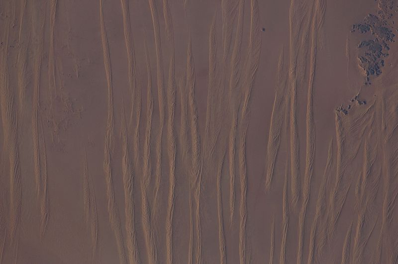
Description: Linear dunes in the Great Sand Sea in southwest Egypt are featured in this image photographed by an Expedition 31 crew member on the International Space Station. In southwestern Egypt, deep in the Sahara Desert, the action of wind dominates landscapes today much as it has done for the past several thousand years. Winds blowing from the north have fashioned sands into large dunes, aligned parallel with these winds. The so-called linear dunes - shown here in the Great Sand Sea - are easily seen from space and local maps show that they rise 20--30 meters above the surrounding flat plains. The distance between individual linear dunes is interestingly regular, at 1.5--2.5 kilometers, suggesting some equilibrium exists between the formative wind strength and the sand supply. It is possible that linear dunes may relate to earlier times when winds were stronger than they are today, or sand more plentiful. The dark patch of rock outcrop at upper right sticks up above the surface on which the dunes lie by as much as 150 meters. The north winds have been deflected around this high zone, and smaller secondary linear dunes can be seen along the right side of the image, aligned with local winds that become ever more northeasterly with nearness to the outcrops. A dune-free zone on the protected downwind (south-southeast) side of the outcrop gives a sense of the sand movement (generally from the bottom of the image towards the top). At first glance, the large linear dunes appear to be the major landform in the image; however a complex pattern of even smaller dunes can be seen perched on top of the largest dunes (inset). The sand that comprises many dune fields usually, according to scientists, derives from some larger river not very distant upwind, supplied from the dry river bed (exposed to the wind during dry seasons of low river flow, or regional change to a more arid climate). Inland dune fields thus lie downwind of the source river. A large, unnamed river once flowed to the Mediterranean Sea situated west of the dunes shown in this picture, dumping its sand load 300 kilometers northwest of the area shown. It is likely that this river, the evidence of which is now almost completely obliterated, was the source of the sand in the linear dunes, the scientists say.
Title: ISS-31 Linear dunes in the Great Sand Sea in southwest Egypt
Credit: http://spaceflight.nasa.gov/gallery/images/station/crew-31/html/iss031e030783.html
Author: NASA
Usage Terms: Public domain
License: Public domain
Attribution Required?: No
Image usage
The following page links to this image:
