
Image: Illinois-territory-1809-1818
No higher resolution available.
Illinois-territory-1809-1818.png (351 × 547 pixels, file size: 109 KB, MIME type: image/png)
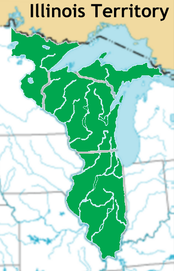
Description: Map of Illinois Territory borders from 1809 to 1818; non-state territory went to Michigan Territory in 1818.
Title: Illinois-territory-1809-1818
Credit: National-atlas-usa-rivers-unlabeled.png
Author: National-atlas-usa-rivers-unlabeled.png: National Atlas of the United States derivative work: Jengod at en.wikipedia
Usage Terms: Creative Commons Attribution 2.0
License: CC BY 2.0
License Link: http://creativecommons.org/licenses/by/2.0
Attribution Required?: Yes
Image usage
The following page links to this image:

All content from Kiddle encyclopedia articles (including the article images and facts) can be freely used under Attribution-ShareAlike license, unless stated otherwise.