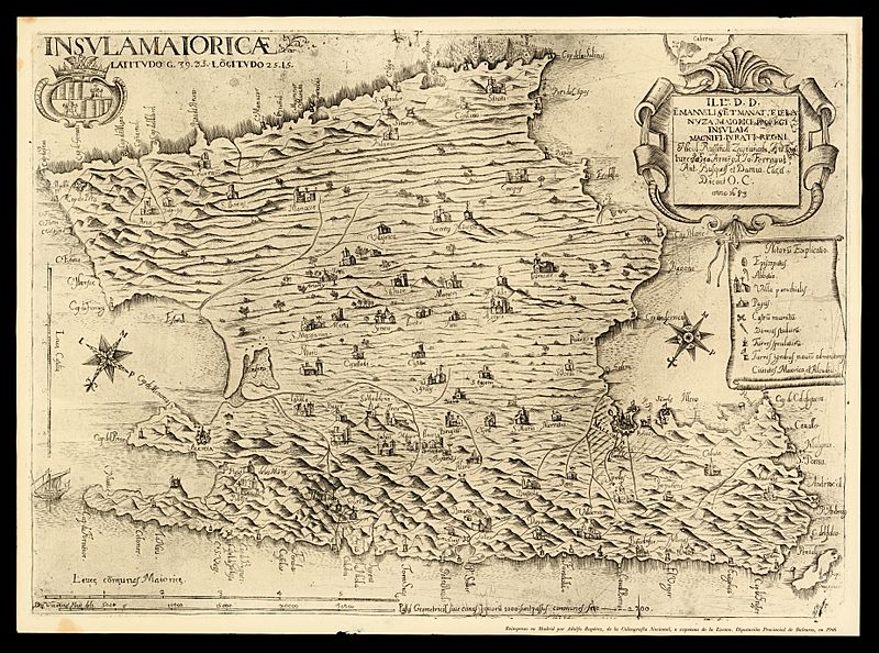
Image: Insula Maioricae Vicentius Mut 1683

Size of this preview: 800 × 594 pixels. Other resolutions: 320 × 237 pixels | 7,388 × 5,481 pixels.
Original image (7,388 × 5,481 pixels, file size: 16.82 MB, MIME type: image/jpeg)
Description: Map of the island of Majorca delineated by Vicente Mut and dated 1683. Place names in Catalan and legends in Latin. Reprinted in Madrid in 1946 by Adolfo Rupérez, of the Calcografia Nacional, at the expense of the Diputación de Baleares. Actual dimensions: 42 x 58 cm
Title: Insula Maioricae Vicentius Mut 1683
Credit: ICGC
Author: Don Vincentius Mut deli.
Permission: Creative Commons Public Domain mark 1.0
Usage Terms: Public domain
License: Public domain
Attribution Required?: No
Image usage
The following page links to this image:

All content from Kiddle encyclopedia articles (including the article images and facts) can be freely used under Attribution-ShareAlike license, unless stated otherwise.
