
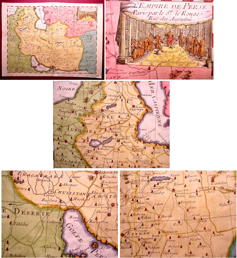
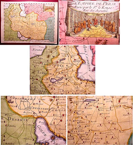
Image: Iran 1748
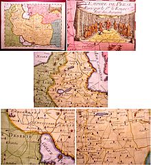
Size of this preview: 550 × 600 pixels. Other resolutions: 220 × 240 pixels | 806 × 879 pixels.
Original image (806 × 879 pixels, file size: 218 KB, MIME type: image/jpeg)
Description: "L'Empire De Perse" issued 1748, Paris, by Le Rouge. A nicely detailed mid-18th century map of Persia. Includes major rivers, lakes, surrounding islands, political divisions, as well as major cities and seaports. Many important cities are signified by tiny cathedral symbols and these are highlighted in red. With a wonderful large vignette court scene at upper right. In VG+ to near excellent, clean antiquarian condition. Very pleasing visually. Sheet measures 12" W x 8 3/4" H, image measures 10 3/4" W x 7 7/8" H.
Title: Iran 1748
Usage Terms: Public domain
License: Public domain
Attribution Required?: No
Image usage
The following page links to this image:

All content from Kiddle encyclopedia articles (including the article images and facts) can be freely used under Attribution-ShareAlike license, unless stated otherwise.