
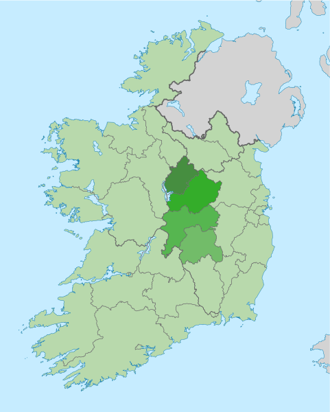
Image: Ireland location map Midlands

Size of this PNG preview of this SVG file: 481 × 599 pixels. Other resolution: 192 × 240 pixels.
Original image (SVG file, nominally 1,450 × 1,807 pixels, file size: 1.98 MB)
Description: The island of Ireland, showing international border between Ireland and Northern Ireland, traditional provinces, traditional counties, and local authority areas in Ireland and Northern Ireland. Highlighted in the Midlands region of Ireland.
Title: Ireland location map Midlands
Credit: Island_of_Ireland_location_map.svg
Author: Ireland_location_map.svg: NordNordWest derivative work: Mabuska (talk)
Usage Terms: Creative Commons Attribution-Share Alike 3.0
License: CC BY-SA 3.0
License Link: http://creativecommons.org/licenses/by-sa/3.0
Attribution Required?: Yes
Image usage
The following page links to this image:

All content from Kiddle encyclopedia articles (including the article images and facts) can be freely used under Attribution-ShareAlike license, unless stated otherwise.