
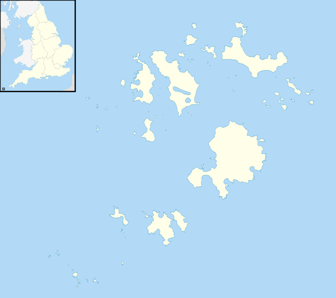
Image: Isles of Scilly UK location map

Description: Blank map of the Isles of Scilly, UK with districts shown. Equirectangular map projection on WGS 84 datum, with N/S stretched 150% Geographic limits: West: 6.45W East: 6.23W North: 49.99N South: 49.86N
Title: Isles of Scilly UK location map
Credit: Ordnance Survey OpenData. Most data from Boundary-Line product. Lake data from Meridian 2 product. Inset derived from England location map.svg by Spischot.
Author: Nilfanion, created using Ordnance Survey data
Permission: This file is licensed under the Creative Commons Attribution-Share Alike 3.0 Unported license. Attribution: Contains Ordnance Survey data © Crown copyright and database right You are free: to share – to copy, distribute and transmit the work to remix – to adapt the work Under the following conditions: attribution – You must attribute the work in the manner specified by the author or licensor (but not in any way that suggests that they endorse you or your use of the work). share alike – If you alter, transform, or build upon this work, you may distribute the resulting work only under the same or similar license to this one. http://creativecommons.org/licenses/by-sa/3.0 CC BY-SA 3.0 Creative Commons Attribution-Share Alike 3.0 truetrue
Usage Terms: Creative Commons Attribution-Share Alike 3.0
License: CC BY-SA 3.0
License Link: http://creativecommons.org/licenses/by-sa/3.0
Attribution Required?: Yes
Image usage
The following 34 pages link to this image:
- Annet, Isles of Scilly
- Bryher
- Crim Rocks
- Cromwell's Castle
- Great Ganilly
- Gugh
- Gweal, Isles of Scilly
- HMS Colossus (1787)
- Halangy Down
- Harry's Walls
- Isles of Scilly
- King Charles's Castle
- Norrard Rocks
- Obadiah's Barrow
- Old Blockhouse
- Oliver's Battery, Tresco
- Pednathise Head
- Porth Hellick
- Porth Hellick Down
- Porthloo
- Rosevear, Isles of Scilly
- Round Island Light, Isles of Scilly
- SS Thames
- Samson, Isles of Scilly
- St Agnes, Isles of Scilly
- St Helen's, Isles of Scilly
- St Martin's, Isles of Scilly
- St Mary's, Isles of Scilly
- Teän
- Tresco, Isles of Scilly
- Tresco Priory
- Wheel Wreck
- White Island, Isles of Scilly
- Zantman's Rock
