
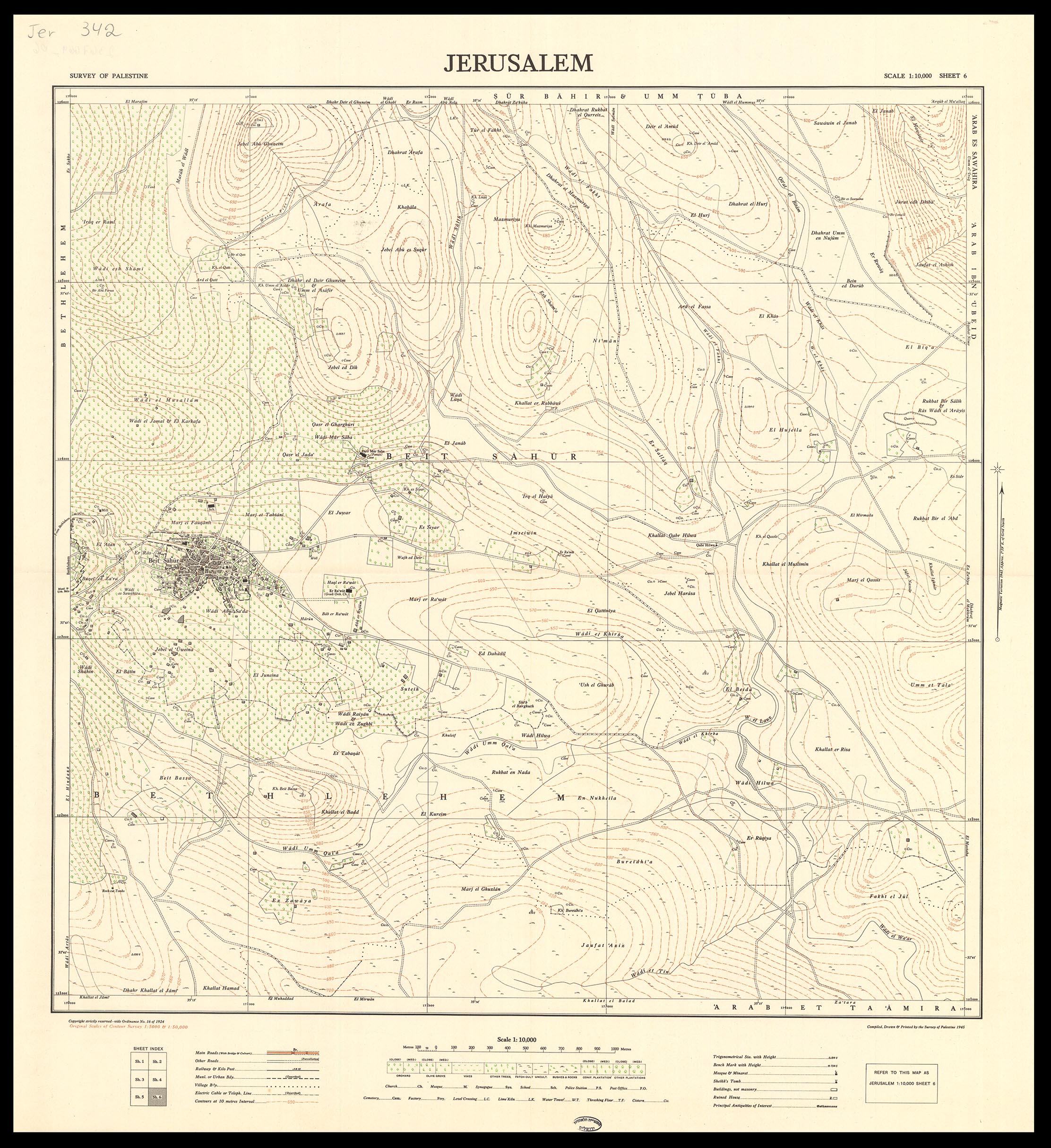
Image: Jerusalem-Compiled, drawn and printed by the Survey of Palestine-6
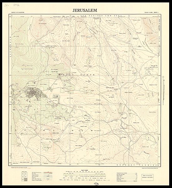
Size of this preview: 549 × 599 pixels. Other resolutions: 220 × 240 pixels | 2,224 × 2,428 pixels.
Original image (2,224 × 2,428 pixels, file size: 1.07 MB, MIME type: image/jpeg)
Description: An accurate topographic map of Jerusalem in six sheets. Produced by the Survey of Palestine, 1945-1946.
Title: Jerusalem-Compiled, drawn and printed by the Survey of Palestine-6
Credit: The Eran Laor Cartographic Collection, National Library of Israel
Author: The National Library of Israel
Usage Terms: Public domain
License: Public domain
Attribution Required?: No
Image usage
The following page links to this image:

All content from Kiddle encyclopedia articles (including the article images and facts) can be freely used under Attribution-ShareAlike license, unless stated otherwise.