
Image: Jordan Syria Locator
No higher resolution available.
Jordan_Syria_Locator.png (500 × 300 pixels, file size: 51 KB, MIME type: image/png)
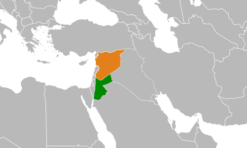
Description: Locator map Jordan (green) and Syria (orange), they formed a Unified Political Command in 1975/76
Title: Jordan Syria Locator
Credit: based on File:Iraq Syria Locator.svg
Author: Own work
Usage Terms: Public domain
License: Public domain
Attribution Required?: No
Image usage
The following page links to this image:

All content from Kiddle encyclopedia articles (including the article images and facts) can be freely used under Attribution-ShareAlike license, unless stated otherwise.