
Image: KENSETT MAP CANADA 1812
Size of this preview: 800 × 597 pixels. Other resolutions: 320 × 239 pixels | 3,828 × 2,856 pixels.
Original image (3,828 × 2,856 pixels, file size: 2.3 MB, MIME type: image/jpeg)
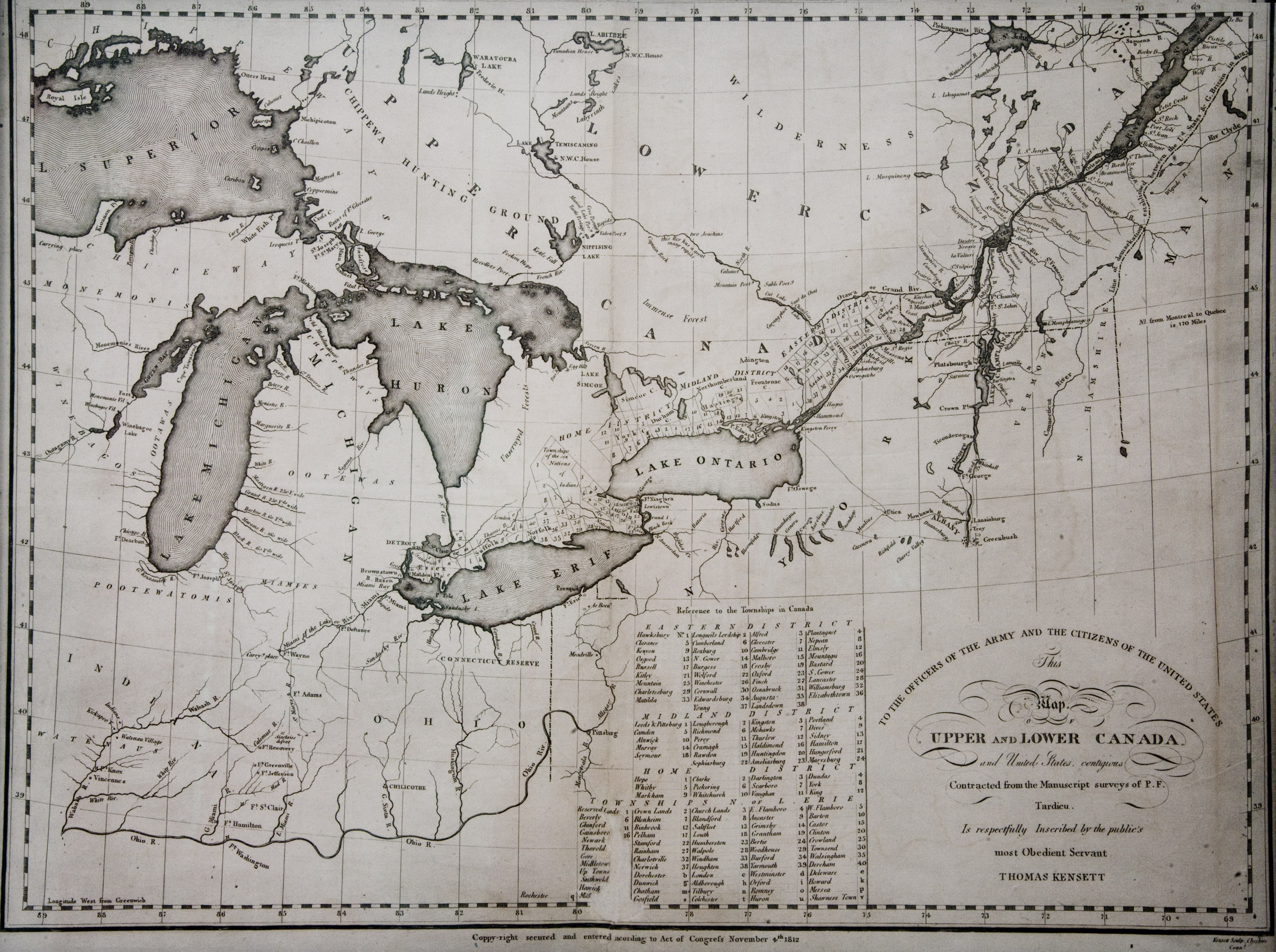
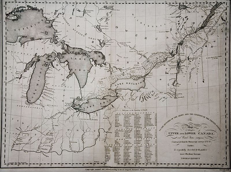
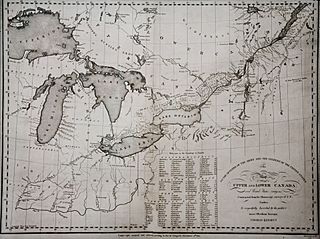
Description: Rare separately issued map of the Great Lakes, Michigan, Indiana, Ohio and contiguous parts of the Canada and the Northeast. The map shows the primary area of conflict during the opening stages of the War of 1812 including many forts along the Canadian/US border except Fort York. Includes Fort Washington (Cincinnati), Fort Dearborn (Chicago), Sandwich (Windsor, Ontario), N. Amsterdam (Buffalo), Fort Malden (Amherstberg) and other early NE settlements.,
Title: KENSETT MAP CANADA 1812
Credit: Photo of Original Map
Author: Thomas Kensett
Usage Terms: Public domain
License: Public domain
Attribution Required?: No
Image usage
The following page links to this image:

All content from Kiddle encyclopedia articles (including the article images and facts) can be freely used under Attribution-ShareAlike license, unless stated otherwise.