
Image: LA2-Rivers of western Russia

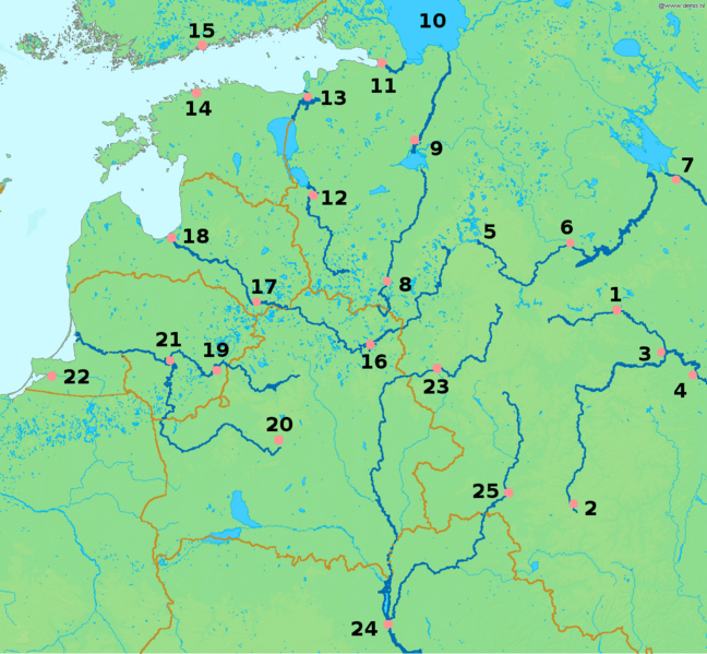
Description: Map of western Russia, with national borders marked (brown), rivers emphasized (dark blue) and major cities (pink) numbered (black). Bounding box West 19°, South 50°, East 40°, North 61°. Center at 55°30′00″N 29°30′00″E / 55.50000°N 29.50000°E / 55.50000; 29.50000.
Title: LA2-Rivers of western Russia
Credit: Based on a public domain map from the Demis map server. Markup added by LA2.
Author: LA2
Permission: This image is in the public domain because it came from the site http://www.demis.nl/home/pages/Gallery/examples.htm and was released by the copyright holder. Permission is granted to copy, distribute and/or modify this map since it is based on free of copyright images from: www.demis.nl. See also approval email on de.wp and its clarification. Deutsch | English | Nederlands | slovenščina | +/− This work has been released into the public domain by its author, www.demis.nl. This applies worldwide. In some countries this may not be legally possible; if so: www.demis.nl grants anyone the right to use this work for any purpose, without any conditions, unless such conditions are required by law.
Usage Terms: Public domain
License: Public domain
Attribution Required?: No
Image usage
The following page links to this image:
