
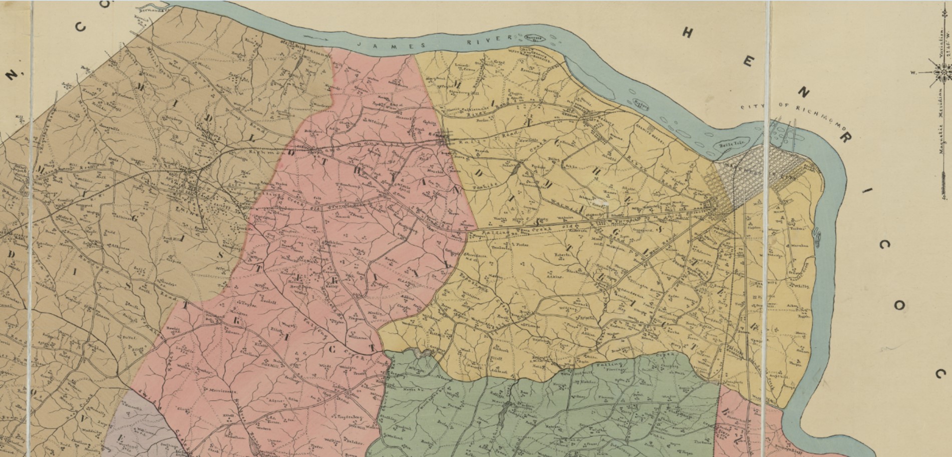
Image: La Prade Map 1888 of Chesterfield County (zoom on Manchester and Southside)
Size of this preview: 800 × 384 pixels. Other resolutions: 320 × 154 pixels | 1,901 × 913 pixels.
Original image (1,901 × 913 pixels, file size: 426 KB, MIME type: image/jpeg)
Description: Map of Chesterfield County, Virginia 1888 (cropped to Manchester and Southside)
Title: La Prade Map 1888 of Chesterfield County (zoom on Manchester and Southside)
Credit: This image is available from the United States Library of Congress's Prints and Photographs division under the digital ID g3883c.la001239.
Author: LaPrade, J. E. (Joseph Edgar), 1845-1903.
Usage Terms: Public domain
License: Public domain
Attribution Required?: No
Image usage
The following 2 pages link to this image:

All content from Kiddle encyclopedia articles (including the article images and facts) can be freely used under Attribution-ShareAlike license, unless stated otherwise.
.jpg)