
Image: Lake Erie historical map, 1901 - DPLA - 94a2d4b0d5bd2a5b21428b55acec7eab

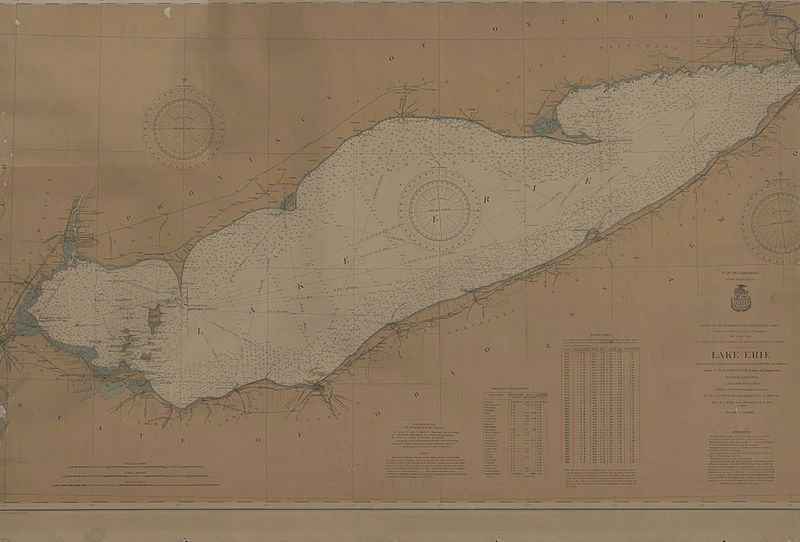
Description: A 1901 map of Lake Erie prepared by the War Department, Corps of Engineers projected from a trigonometrical survey executed in 1875, 1876, 1877 and 1878. Additions and corrections in 1900 and 1901. Map shows lighthouses, soundings, bouies, and islands in Lake Erie.
Title: Lake Erie historical map, 1901
Credit: This file was contributed to Wikimedia Commons by Toledo-Lucas County Public Library as part of a cooperation project. The donation was facilitated by the Digital Public Library of America, via its partner Ohio Digital Network. Record in source catalog DPLA identifier: 94a2d4b0d5bd2a5b21428b55acec7eab
Permission: This image might not be in the public domain outside of the United States; this especially applies in the countries and areas that do not apply the rule of the shorter term for US works, such as Canada, Mainland China (not Hong Kong or Macao), Germany, Mexico, and Switzerland. The creator and year of publication are essential information and must be provided. See Wikipedia:Public domain and Wikipedia:Copyrights for more details.
Usage Terms: Public domain
License: Public domain
Attribution Required?: No
Image usage
The following page links to this image:
