
Image: Laor Sri Lanka Map (Cropped)

Size of this preview: 800 × 556 pixels. Other resolutions: 320 × 223 pixels | 11,929 × 8,297 pixels.
Original image (11,929 × 8,297 pixels, file size: 29.55 MB, MIME type: image/jpeg)
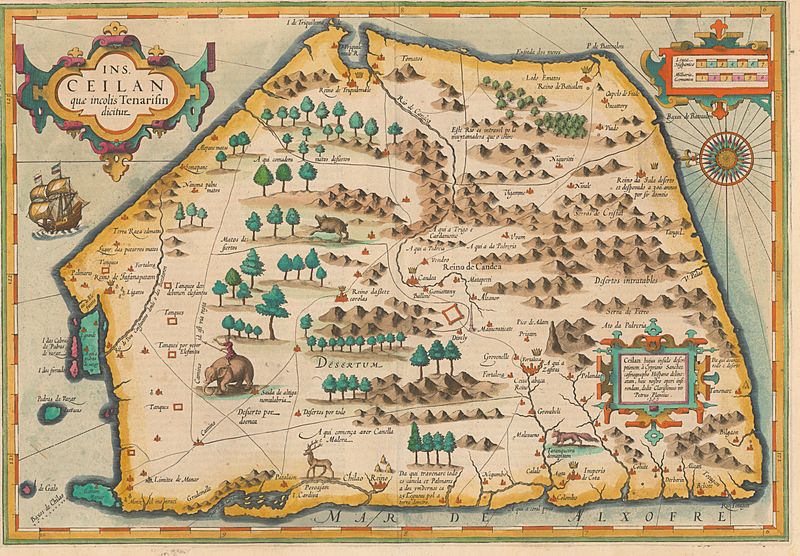
Description: Map of Sri Lanka by Petrus Plancius, 16th century.
Title: Ins. Ceilan, quæ incolís Tenarifin dicitur [cartographic material] / dedit clarissismus vir Petrus Plancius.
Credit: National Library of Israel
Author: Petrus Plancius
Usage Terms: Public domain
License: Public domain
Attribution Required?: No
Image usage
The following 2 pages link to this image:

All content from Kiddle encyclopedia articles (including the article images and facts) can be freely used under Attribution-ShareAlike license, unless stated otherwise.
.jpg)