
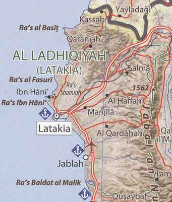
Image: Latakia Governorate map
No higher resolution available.
Latakia_Governorate_map.png (341 × 401 pixels, file size: 323 KB, MIME type: image/png)
Description: Latakia Governorate map
Title: Latakia Governorate map
Credit: http://legacy.lib.utexas.edu/maps/middle_east_and_asia/txu-pclmaps-oclc-746758449-syria_country_profile-2011.jpg
Author: CIA
Usage Terms: Public domain
License: PD
Attribution Required?: No
Image usage
The following page links to this image:

All content from Kiddle encyclopedia articles (including the article images and facts) can be freely used under Attribution-ShareAlike license, unless stated otherwise.