
Image: LewishamNSWsatellite
No higher resolution available.
LewishamNSWsatellite.jpg (594 × 444 pixels, file size: 169 KB, MIME type: image/jpeg)
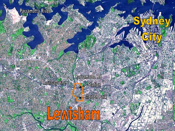
Description: Location Map for the suburb of Lewisham, NSW based on NASA satellite map. Modified to identify suburb boundaries and identifiable landmarks. Original NASA image number: PIA03498
Title: LewishamNSWsatellite
Usage Terms: Public domain
License: Public domain
Attribution Required?: No
Image usage
The following page links to this image:

All content from Kiddle encyclopedia articles (including the article images and facts) can be freely used under Attribution-ShareAlike license, unless stated otherwise.