
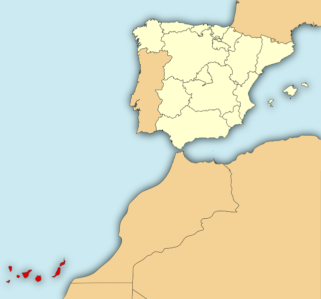
Image: Localización de la Región de Canarias

Size of this PNG preview of this SVG file: 643 × 600 pixels. Other resolution: 257 × 240 pixels.
Original image (SVG file, nominally 799 × 745 pixels, file size: 638 KB)
Description: Map of Spain with the Canary Islands highlighted.
Title: Localización de la Región de Canarias
Credit: Localización_de_la_Región_de_Murcia.svg The_incident_of_the_ship_Arctic_Sea_(2009).svg
Author: Localización_de_la_Región_de_Murcia.svg: Rastrojo (D•ES), based on Mutxamel version. The_incident_of_the_ship_Arctic_Sea_(2009).svg: Corso derivative work: Mircalla22 (talk)
Usage Terms: Creative Commons Attribution-Share Alike 3.0
License: CC BY-SA 3.0
License Link: http://creativecommons.org/licenses/by-sa/3.0
Attribution Required?: Yes
Image usage
There are no pages that link to this image.

All content from Kiddle encyclopedia articles (including the article images and facts) can be freely used under Attribution-ShareAlike license, unless stated otherwise.