
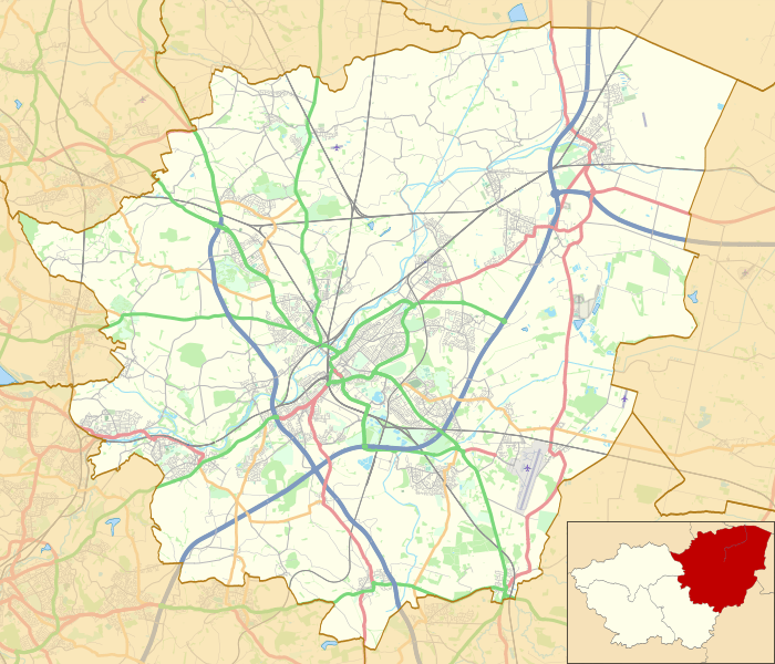
Image: Location map United Kingdom Borough of Doncaster

Description: Map of the Metropolitan Borough of Doncaster, South Yorkshire, England, in 2019. Equirectangular map projection on WGS 84 datum, with N/S stretched 165% Geographic limits: West: 1.36° W East: 0.84° W North: 53.67° N South: 53.40° N
Title: Location map United Kingdom Borough of Doncaster
Credit: This file was derived from: Doncaster UK ward map 2015 (blank).svg: https://www.openstreetmap.org/#map=11/53.5448/-1.1749 accessed 25 May 2019
Author: Doncaster UK ward map 2015 (blank).svg: Nilfanion, created using Ordnance Survey data OpenStreetMap: OpenStreetMap contributors derivative work: Dr Greg
Usage Terms: Creative Commons Attribution-Share Alike 4.0
License: CC BY-SA 4.0
License Link: https://creativecommons.org/licenses/by-sa/4.0
Attribution Required?: Yes
Image usage
The following page links to this image:
