
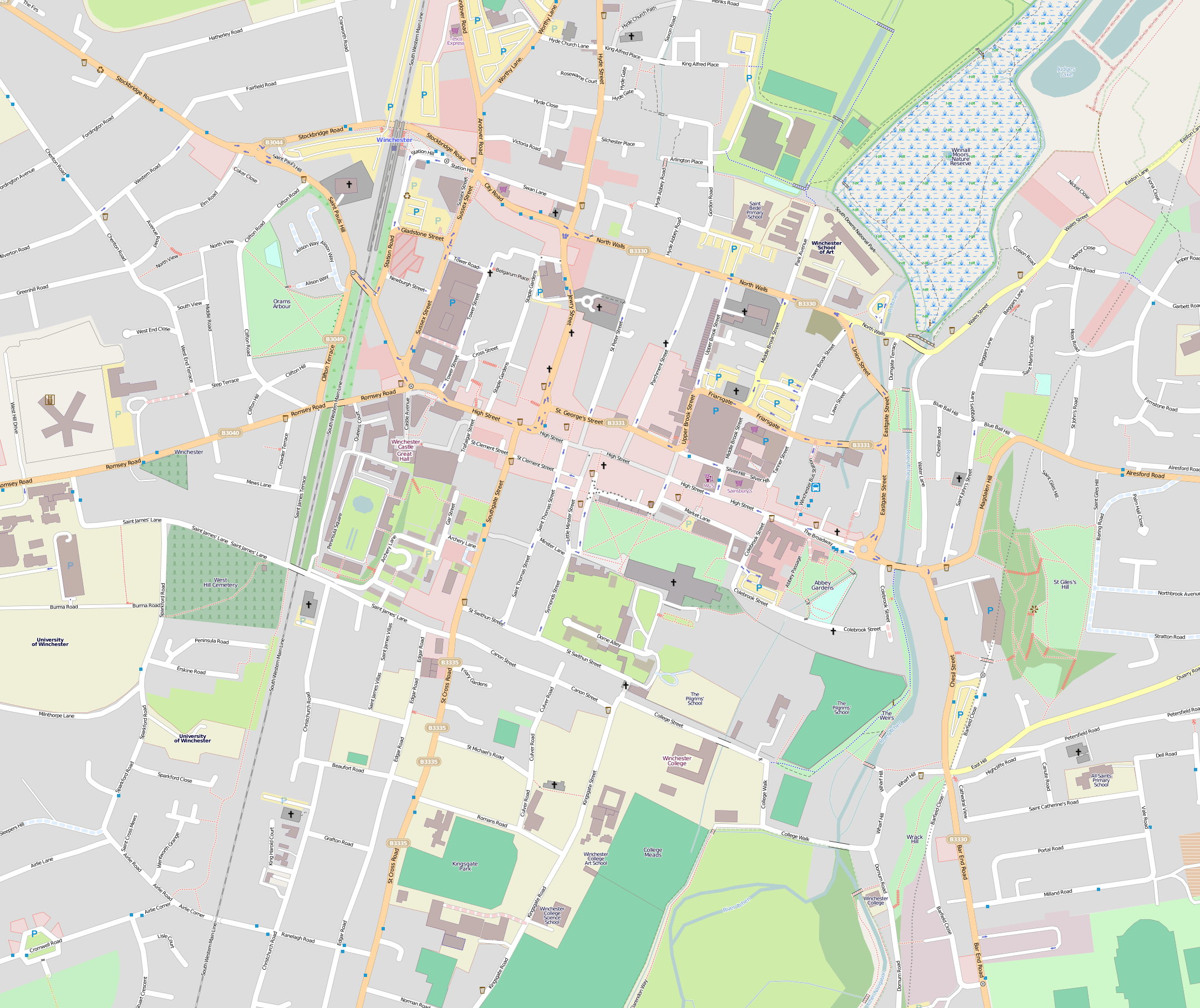
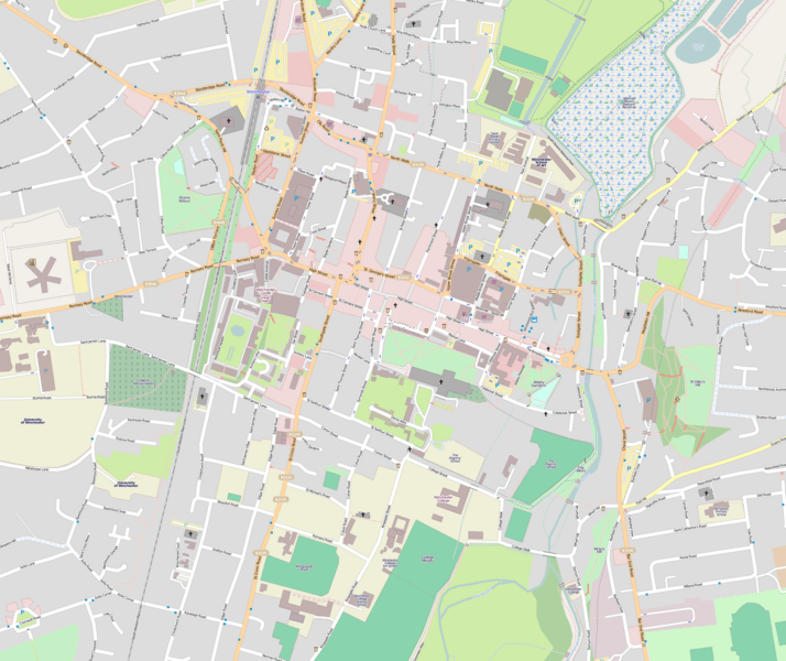
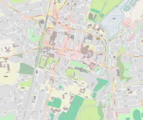
Image: Location map United Kingdom Winchester Central
Size of this preview: 714 × 600 pixels. Other resolutions: 286 × 240 pixels | 2,164 × 1,818 pixels.
Original image (2,164 × 1,818 pixels, file size: 1.58 MB, MIME type: image/png)
Description: Map of Winchester Central Geographic limits: N: 51.0695° S: 51.05432° W: -1.32943° E: -1.30068°
Title: Location map United Kingdom Winchester Central
Credit: http://www.openstreetmap.org/
Author: OpenStreetMap
Usage Terms: Creative Commons Attribution-Share Alike 3.0
License: CC BY-SA 3.0
License Link: https://creativecommons.org/licenses/by-sa/3.0
Attribution Required?: Yes
Image usage
The following 4 pages link to this image:

All content from Kiddle encyclopedia articles (including the article images and facts) can be freely used under Attribution-ShareAlike license, unless stated otherwise.