
Image: Location map United States Cleveland
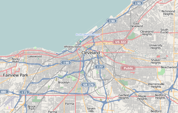
Description: This map of Cleveland, Ohio was created from OpenStreetMap project data, collected by the community. This map may be incomplete, and may contain errors. Don't rely solely on it for navigation.
Title: Location map United States Cleveland
Credit: openstreetmap.org
Author: User:Hillrhpc
Permission: OpenStreetMap data and maps are licensed under the Creative Commons Attribution-ShareAlike 2.0 license (CC-BY-SA 2.0). This file is licensed under the Creative Commons Attribution-Share Alike 2.0 Generic license. You are free: to share – to copy, distribute and transmit the work to remix – to adapt the work Under the following conditions: attribution – You must give appropriate credit, provide a link to the license, and indicate if changes were made. You may do so in any reasonable manner, but not in any way that suggests the licensor endorses you or your use. share alike – If you remix, transform, or build upon the material, you must distribute your contributions under the same or compatible license as the original. https://creativecommons.org/licenses/by-sa/2.0 CC BY-SA 2.0 Creative Commons Attribution-Share Alike 2.0 truetrue
Usage Terms: Creative Commons Attribution-Share Alike 2.0
License: CC BY-SA 2.0
License Link: https://creativecommons.org/licenses/by-sa/2.0
Attribution Required?: Yes
Image usage
The following 64 pages link to this image:
- Alta Public Library
- Andrew and James Dall Houses
- Ansel Road Apartment Buildings Historic District
- Archwood Avenue Historic District
- Archwood Congregational Church
- Baker Motor Vehicle Company Building
- Bingham Company Warehouse
- Body Block
- Bohemian National Hall (Cleveland, Ohio)
- Bomante House
- Broadway Avenue Historic District (Cleveland, Ohio)
- Broadway–Slavic Village
- Brooklyn Bank Building
- Bryant Building
- Buckeye–Shaker
- Cedar Glen Apartments
- Cleveland Arcade
- Cleveland Home for Aged Colored People
- Cozad–Bates House
- Crawford-Tilden Apartments
- Cuyahoga County Courthouse
- Detroit–Superior Bridge
- Dr. James Bell House
- Fenn Tower
- Franklin Castle
- Grays Armory
- Guardian Bank Building
- H. Black and Company Building
- Halle Building
- Holy Rosary Church (Cleveland, Ohio)
- Hope Memorial Bridge
- Howard M. Metzenbaum United States Courthouse
- Irishtown Bend
- James A. Garfield Memorial
- League Park
- Maltz Performing Arts Center
- North Presbyterian Church (Cleveland, Ohio)
- Ohio City, Cleveland
- Park Building (Cleveland, Ohio)
- Perry–Payne Building
- Phillip Gaensslen House
- Pilgrim Congregational Church (Cleveland, Ohio)
- Playhouse Square
- Plaza Apartments (Cleveland, Ohio)
- Public Square, Cleveland
- Sarah Benedict House
- Society for Savings Building
- Southworth House (Cleveland, Ohio)
- St. Elizabeth of Hungary Catholic Church (Cleveland, Ohio)
- St. John's Episcopal Church (Cleveland, Ohio)
- St. Luke's Hospital (Cleveland, Ohio)
- St. Michael the Archangel Church (Cleveland, Ohio)
- St. Paul's Episcopal Church (Cleveland, Ohio)
- St. Stephen's Catholic Church (Cleveland, Ohio)
- Superior Building
- Trinity Cathedral (Cleveland, Ohio)
- USS Cod
- Wade Memorial Chapel
- Wade Park District
- Warehouse District, Cleveland
- Weizer Building (8935 Buckeye Road, Cleveland, Ohio)
- West Side Market
- Zero Gravity Research Facility
- Zion Lutheran Church (Cleveland, Ohio)
