
Image: Location map Yukon 2
Size of this preview: 449 × 600 pixels. Other resolutions: 180 × 240 pixels | 599 × 800 pixels.
Original image (599 × 800 pixels, file size: 79 KB, MIME type: image/png)
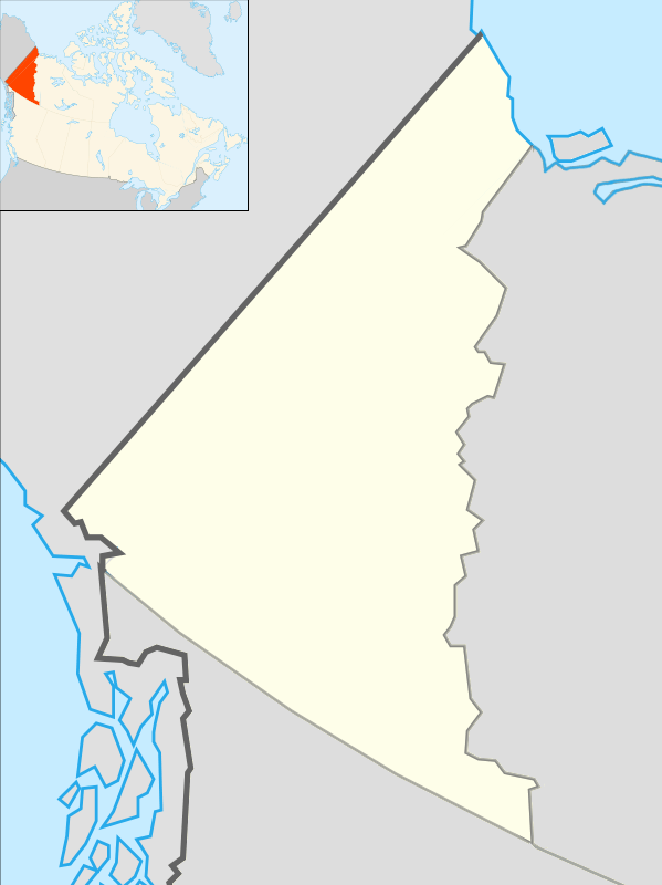
Description: Map of Yukon
Title: Location map Yukon 2
Credit: Based on File:Canada location map.svg with File:Yukon, Canada.svg in the upper left corner
Author: Algkalv and Dr. Blofeld based on original by Yug. Inset is File:Yukon, Canada.svg by EOZyo. Two maps put together by Ruhrfisch (talk) 14:55, 8 September 2010 (UTC)
Usage Terms: Creative Commons Attribution-Share Alike 3.0
License: CC BY-SA 3.0
License Link: http://creativecommons.org/licenses/by-sa/3.0
Attribution Required?: Yes
Image usage
The following 47 pages link to this image:
- Bennett Lake
- Burwash Landing
- Carmacks, Yukon
- Coghlan Lake
- Dawson City
- Dezadeash Lake
- Emerald Lake (Yukon)
- Haines Junction, Yukon
- Herschel Island
- Ibex Valley
- Indian River (Yukon)
- Kaskawulsh Glacier
- Kaskawulsh Mountain
- Kathleen Lake
- King Peak
- King Peak (Yukon)
- Kings Throne Peak
- Kluane Lake
- Kusawa Lake
- Marsh Lake
- Mayo, Yukon
- Montana Mountain
- Mount Archibald
- Mount Atherton
- Mount Cairnes
- Mount Decoeli
- Mount Hubbard
- Mount Kennedy
- Mount King George
- Mount Martha Black
- Mount Maxwell
- Mount Nansen (Yukon)
- Mount Saskatchewan (Yukon)
- Mount Worthington (Yukon)
- Nares Lake
- Old Crow, Yukon
- Pelly Mountains
- Rabbit Mountain
- Schwatka Lake
- Selwyn Mountains
- Tagish Lake
- Teslin, Yukon
- Ts'oogot Gaay Lake
- Whitehorse
- Wolf Lake (Yukon)
- Yukon Plateau
- Template:Location map Canada Yukon

All content from Kiddle encyclopedia articles (including the article images and facts) can be freely used under Attribution-ShareAlike license, unless stated otherwise.