
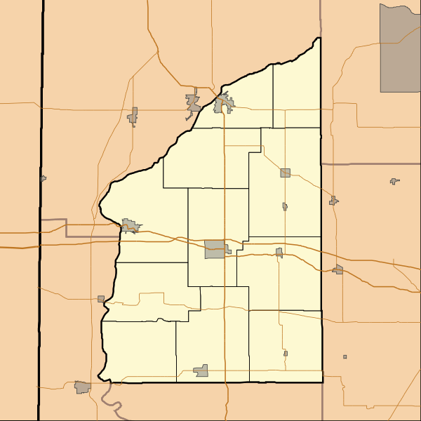
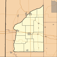
Image: Location map of Fountain County, Indiana

Size of this PNG preview of this SVG file: 600 × 600 pixels. Other resolution: 240 × 240 pixels.
Original image (SVG file, nominally 768 × 768 pixels, file size: 141 KB)
Description: This is a map of Fountain County, Indiana, USA which includes township borders.
Title: Location map of Fountain County, Indiana
Credit: My own work, using custom-written MapScript applications with National Atlas and United States Census Bureau data
Author: Omnedon
Usage Terms: Public domain
License: Public domain
Attribution Required?: No
Image usage
The following 19 pages link to this image:
- Attica, Indiana
- Aylesworth, Indiana
- Cates, Indiana
- Centennial, Indiana
- Coal Creek, Indiana
- Covington, Indiana
- Fountain, Indiana
- Harveysburg, Indiana
- Hillsboro, Indiana
- Kingman, Indiana
- Mellott, Indiana
- Newtown, Indiana
- Rob Roy, Indiana
- Silverwood, Indiana
- Steam Corner, Indiana
- Stone Bluff, Indiana
- Veedersburg, Indiana
- Wallace, Indiana
- Yeddo, Indiana

All content from Kiddle encyclopedia articles (including the article images and facts) can be freely used under Attribution-ShareAlike license, unless stated otherwise.