
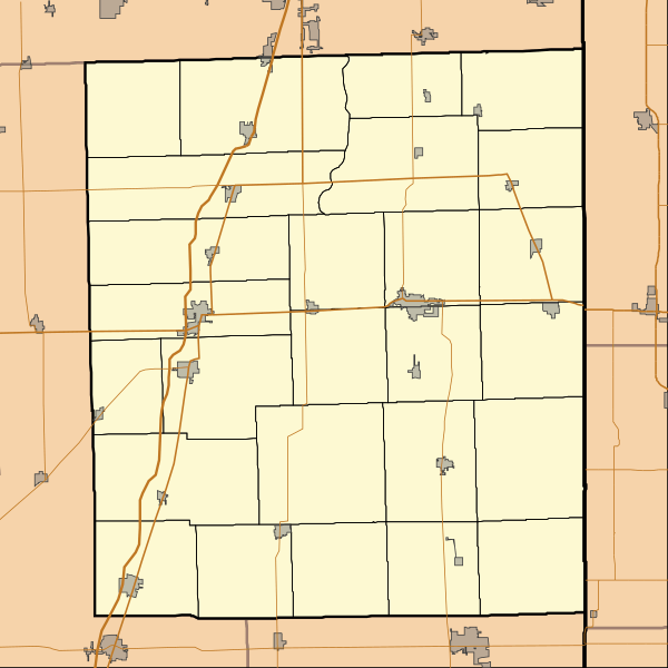
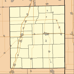
Image: Location map of Iroquois County, Illinois

Size of this PNG preview of this SVG file: 600 × 600 pixels. Other resolution: 240 × 240 pixels.
Original image (SVG file, nominally 768 × 768 pixels, file size: 152 KB)
Description: This is a map of Iroquois County, Illinois, USA which includes township borders.
Title: Location map of Iroquois County, Illinois
Credit: My own work, using custom-written MapScript applications with National Atlas and United States Census Bureau data
Author: Omnedon
Usage Terms: Public domain
License: Public domain
Attribution Required?: No
Image usage
The following 27 pages link to this image:
- Ashkum, Illinois
- Beaverville, Illinois
- Bryce, Illinois
- Buckley, Illinois
- Claytonville, Illinois
- Clifton, Illinois
- Crescent City, Illinois
- Danforth, Illinois
- Donovan, Illinois
- Eastburn, Illinois
- Fountain Creek, Illinois
- Gilman, Illinois
- Goodwine, Illinois
- Iroquois, Illinois
- L'Erable, Illinois
- La Hogue, Illinois
- Martinton, Illinois
- Milford, Illinois
- Onarga, Illinois
- Papineau, Illinois
- Pittwood, Illinois
- Sheldon, Illinois
- Stockland, Illinois
- Thawville, Illinois
- Watseka, Illinois
- Wellington, Illinois
- Woodland, Illinois

All content from Kiddle encyclopedia articles (including the article images and facts) can be freely used under Attribution-ShareAlike license, unless stated otherwise.