
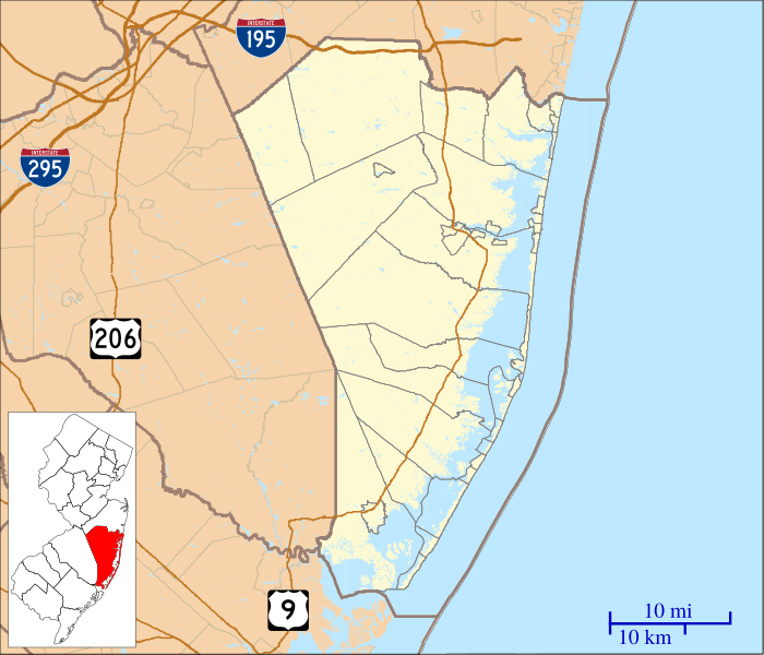
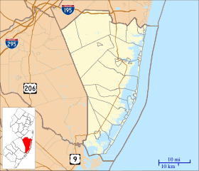
Image: Location map of Ocean County, New Jersey

Size of this PNG preview of this SVG file: 700 × 600 pixels. Other resolution: 280 × 240 pixels.
Original image (SVG file, nominally 896 × 768 pixels, file size: 1.02 MB)
Description: This is a map of Ocean County, New Jersey, USA which includes incorporated settlements, township borders, and major highways.
Title: Location map of Ocean County, New Jersey
Credit: My own work, using custom-written MapScript applications with United States Census Bureau data
Author: Omnedon
Usage Terms: Public domain
License: Public domain
Attribution Required?: No
Image usage
The following 38 pages link to this image:
- Adamston, New Jersey
- Aserdaten, New Jersey
- Barnegat Light Public School
- Barnegat Lighthouse
- Barnegat Pines, New Jersey
- Bayville, New Jersey
- Breton Woods, New Jersey
- Brindletown, New Jersey
- Bullock, New Jersey
- Cedar Bridge Tavern
- Chadwick Beach Island, New Jersey
- Crossley, New Jersey
- Eagleswood Township, New Jersey
- Harmony, Ocean County, New Jersey
- Herbertsville, New Jersey
- High Bar Harbor, New Jersey
- Howardsville, New Jersey
- Jackson Mills, New Jersey
- Lakewood Township, New Jersey
- Lanoka Harbor, New Jersey
- Laurelton, New Jersey
- Loveladies, New Jersey
- Manahawkin Baptist Church
- Mayetta, New Jersey
- Nugentown, New Jersey
- Ocean County Courthouse
- Osbornsville, New Jersey
- Parkertown, New Jersey
- Parkway Pines, New Jersey
- Prospertown, New Jersey
- Ridgeway, New Jersey
- Silverton, New Jersey
- Success Lake
- Warren Grove, New Jersey
- West Creek, New Jersey
- West Tuckerton, New Jersey
- Wheatland, New Jersey
- Whiting, New Jersey

All content from Kiddle encyclopedia articles (including the article images and facts) can be freely used under Attribution-ShareAlike license, unless stated otherwise.