
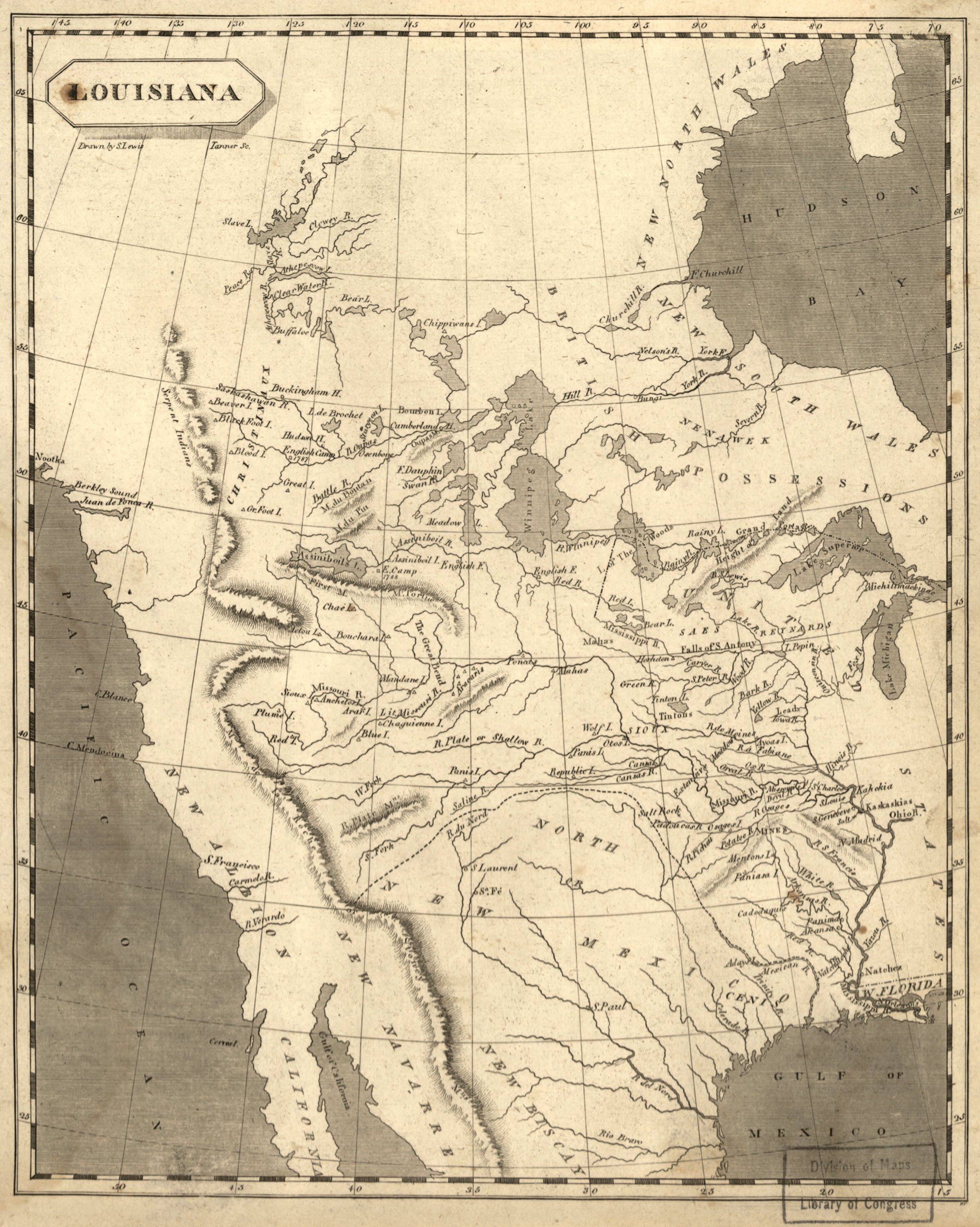
Image: Louisiana1804 loc filename ct000654
Description: 1804 map of "Louisiana" Samuel Lewis (ca.1753-1822). "Louisiana" in Aaron Arrowsmith, New and Elegant General Atlas. Philadelphia: 1804 Engraved map Library or Congress Geography and Map Division (34) https://www.loc.gov/exhibits/lewisandclark/lewis-before.html
Title: Louisiana1804 loc filename ct000654
Credit: This map is available from the United States Library of Congress's Geography & Map Division under the digital ID g4050.ct000654. This tag does not indicate the copyright status of the attached work. A normal copyright tag is still required. See Commons:Licensing for more information.
Author: Samuel Lewis (ca.1753-1822)
Usage Terms: Public domain
License: Public domain
Attribution Required?: No
Image usage
The following page links to this image:
