
Image: MacquarieRvr NSW Map
No higher resolution available.
MacquarieRvr_NSW_Map.jpg (600 × 535 pixels, file size: 30 KB, MIME type: image/jpeg)
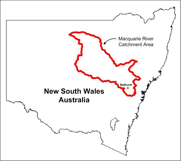
Description: Map showing catchment area of the Maquarie River and its tributaries, central New South Wales, Australia. Flow is from Bathurst (marked in lower area) towards top left of diagram.
Title: MacquarieRvr NSW Map
Credit: Own work (Original text: I (Geez-oz (talk)) created this work entirely by myself.)
Author: Geez-oz (talk)
Usage Terms: Creative Commons Attribution 3.0
License: CC BY 3.0
License Link: http://creativecommons.org/licenses/by/3.0
Attribution Required?: Yes
Image usage
The following page links to this image:

All content from Kiddle encyclopedia articles (including the article images and facts) can be freely used under Attribution-ShareAlike license, unless stated otherwise.