
Image: Malakand Region map

Size of this PNG preview of this SVG file: 704 × 600 pixels. Other resolution: 282 × 240 pixels.
Original image (SVG file, nominally 1,558 × 1,327 pixels, file size: 1.22 MB)
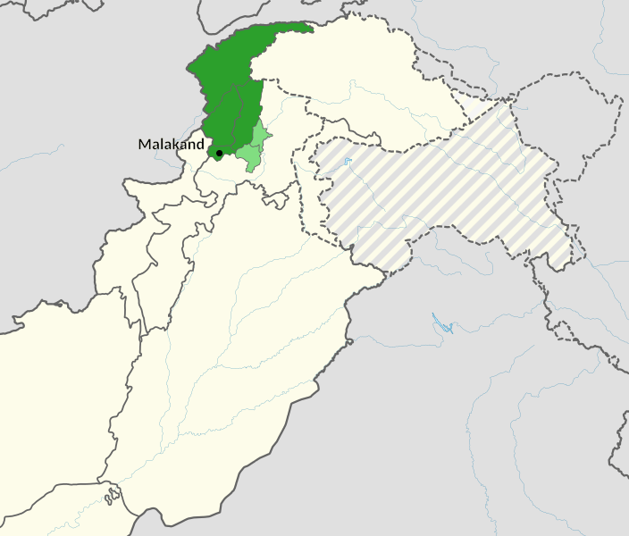
Description: Location of: Agency of Malakand in dark green, Division of Malakand in green, shown with their princely states/districts in northern Pakistan. Created with the help of the map File:NWFP FATA.svg
Title: Malakand Region map
Credit: Own work, based on File:Khyber Pakhtunkhwa in Pakistan.svg
Author: Don-kun, TUBS
Usage Terms: Creative Commons Attribution 3.0
License: CC BY 3.0
License Link: http://creativecommons.org/licenses/by/3.0
Attribution Required?: Yes
Image usage
The following page links to this image:

All content from Kiddle encyclopedia articles (including the article images and facts) can be freely used under Attribution-ShareAlike license, unless stated otherwise.