
Image: Map-windsor-connecticut-1654
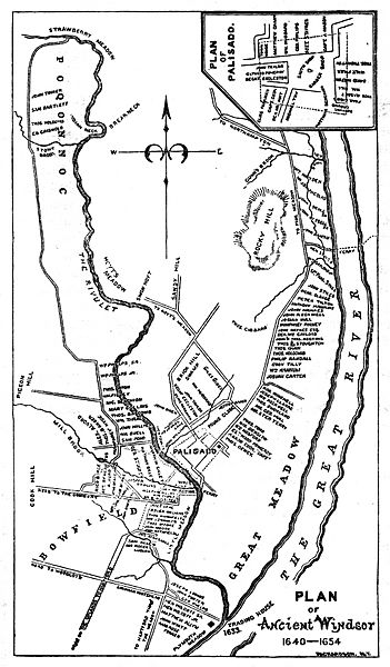
Size of this preview: 351 × 600 pixels. Other resolutions: 140 × 240 pixels | 1,000 × 1,709 pixels.
Original image (1,000 × 1,709 pixels, file size: 765 KB, MIME type: image/jpeg)
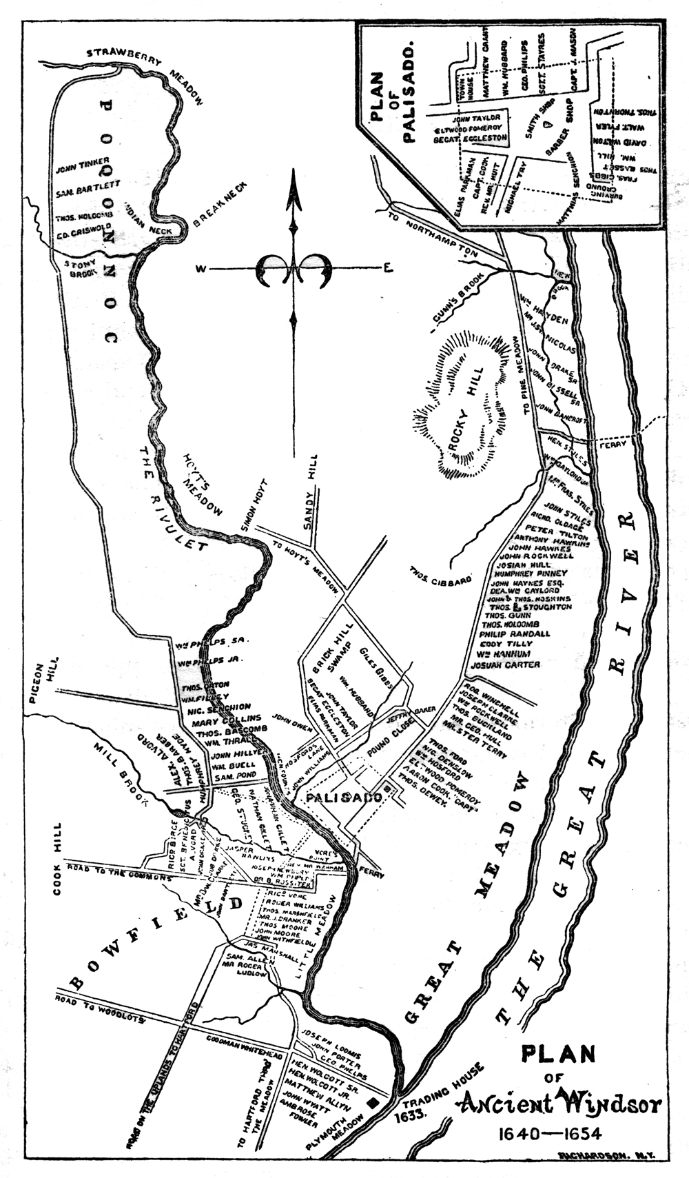
Description: Plan of Ancient Windsor, Connecticut 1640-1654, illustrating the locations of settlers homes and various geographic features. The trading post established by the Plymouth colonists in 1633 is shown at the bottom.
Title: Map-windsor-connecticut-1654
Credit: The Phelps Family of America and Their English Ancestors, two volumes. Eagle Publishing Company of Pittsfield, Massacusetts.
Author: Oliver Seymour Phelps and Andrew T. Servin.
Usage Terms: Public domain
License: Public domain
Attribution Required?: No
Image usage
The following 2 pages link to this image:

All content from Kiddle encyclopedia articles (including the article images and facts) can be freely used under Attribution-ShareAlike license, unless stated otherwise.