
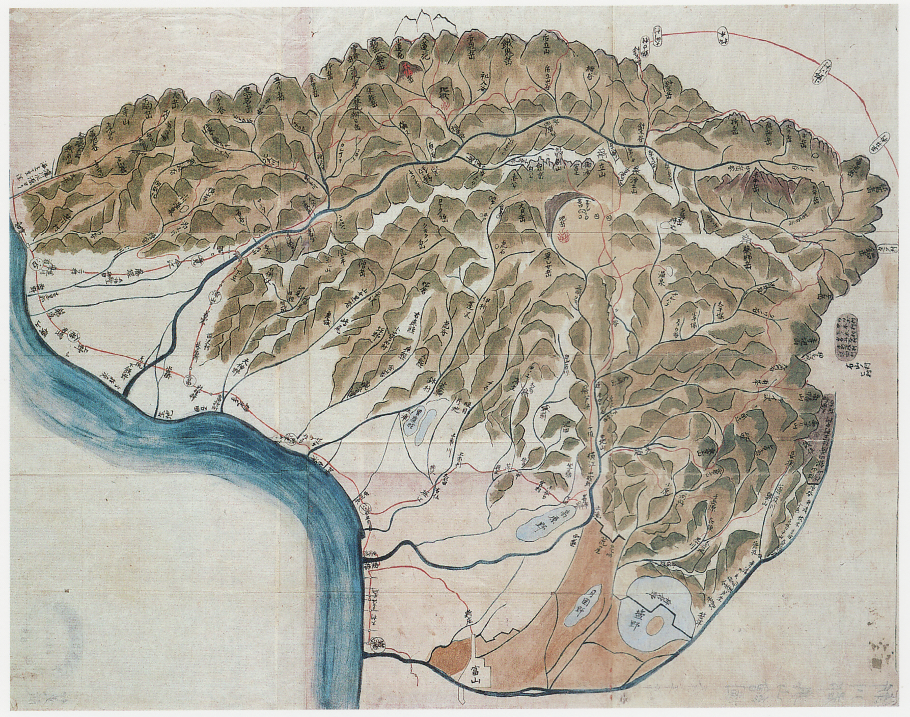
Image: Map Okuyama Niikawa 1836
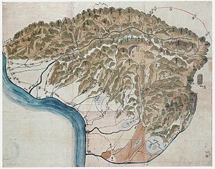
Size of this preview: 762 × 600 pixels. Other resolutions: 305 × 240 pixels | 1,787 × 1,407 pixels.
Original image (1,787 × 1,407 pixels, file size: 2.16 MB, MIME type: image/jpeg)
Description: Illustrated map (copy) of the deep mountain in Niikawa County, Etchū Province in 1836.
Title: Map Okuyama Niikawa 1836
Credit: 富山県立図書館所蔵
Author: 脇坂長右衛門
Usage Terms: Public domain
License: Public domain
Attribution Required?: No
Image usage
The following page links to this image:

All content from Kiddle encyclopedia articles (including the article images and facts) can be freely used under Attribution-ShareAlike license, unless stated otherwise.