
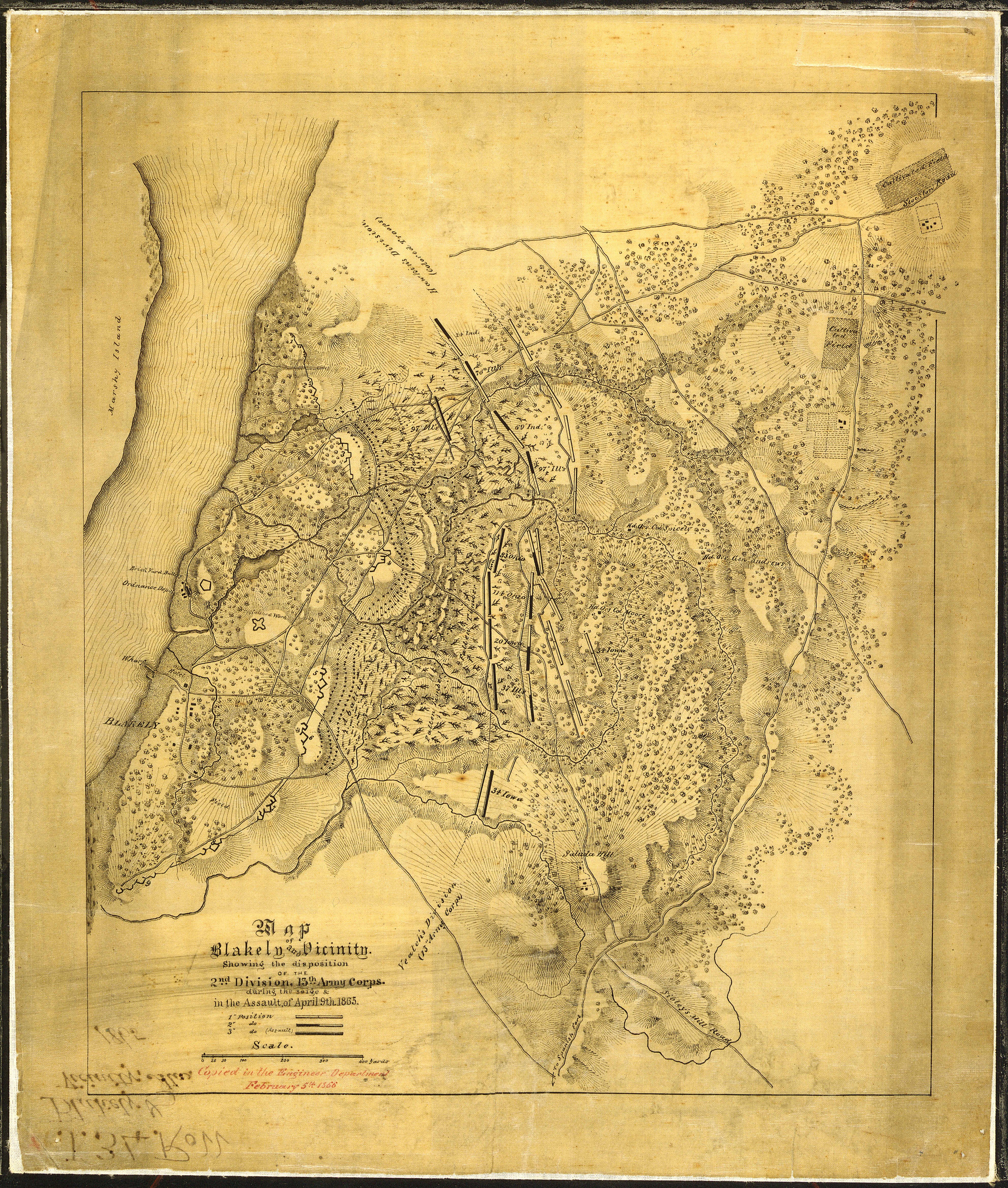
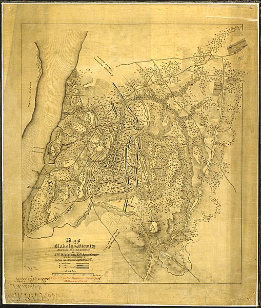
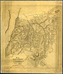
Image: Map of Blakely and Vicinity. Showing the disposition of the 2nd Division, 13th Army Corps, during the siege & and... - NARA - 305627
Size of this preview: 509 × 600 pixels. Other resolutions: 204 × 240 pixels | 3,968 × 4,675 pixels.
Original image (3,968 × 4,675 pixels, file size: 8.31 MB, MIME type: image/jpeg)
Title: Map of Blakely and Vicinity. Showing the disposition of the 2nd Division, 13th Army Corps, during the siege & and in the Assault of April 9th, 1865. Copied in the Engineer Department, February 5th, 1866.
Credit: U.S. National Archives and Records Administration
Author: Unknown authorUnknown author or not provided
Usage Terms: Public domain
License: Public domain
Attribution Required?: No
Image usage
The following page links to this image:

All content from Kiddle encyclopedia articles (including the article images and facts) can be freely used under Attribution-ShareAlike license, unless stated otherwise.