
Image: Map of England 1086

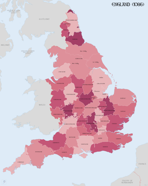
Description: Map of English Counties in 1086. Source data: GIS data from The Landscapes of Governance Projects (http://www.ucl.ac.uk/archaeology/research/projects/assembly/index). Norman England - A Literary and Historical Atlas of Europe (Bartholemew). Domesday place names (K. Briggs). Vision of Britian (http://www.visionofbritain.org.uk) Open Domesday (http://opendomesday.org). "LINCOLNSHIRE COASTAL VILLAGES AND THE SEA c.1300 - c.1600: ECONOMY AND SOCIETY" Pawley (1984). Sussex: Pevensey Bay in accordance with http://saxonhistory.co.uk/. Kent: Cinque Ports area in accordance with http://www.historyfiles.co.uk/KingListsBritain/EnglandKent_Oxney01_Full.htm and http://villagenet.co.uk/history/1155-cinqueports.php
Title: Map of England 1086
Credit: Own work
Author: XrysD
Usage Terms: Creative Commons Attribution-Share Alike 4.0
License: CC BY-SA 4.0
License Link: https://creativecommons.org/licenses/by-sa/4.0
Attribution Required?: Yes
Image usage
The following 2 pages link to this image:
