
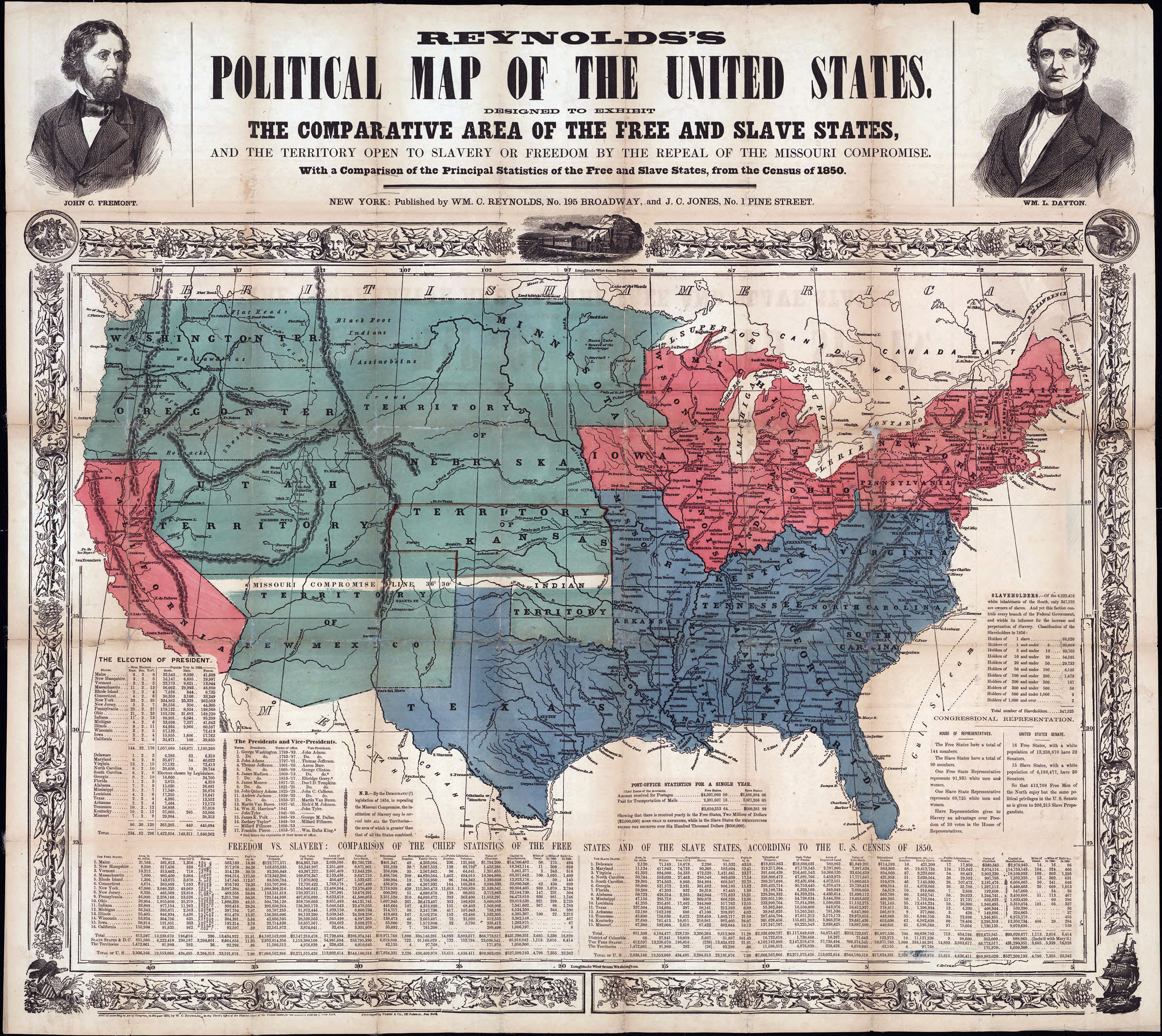
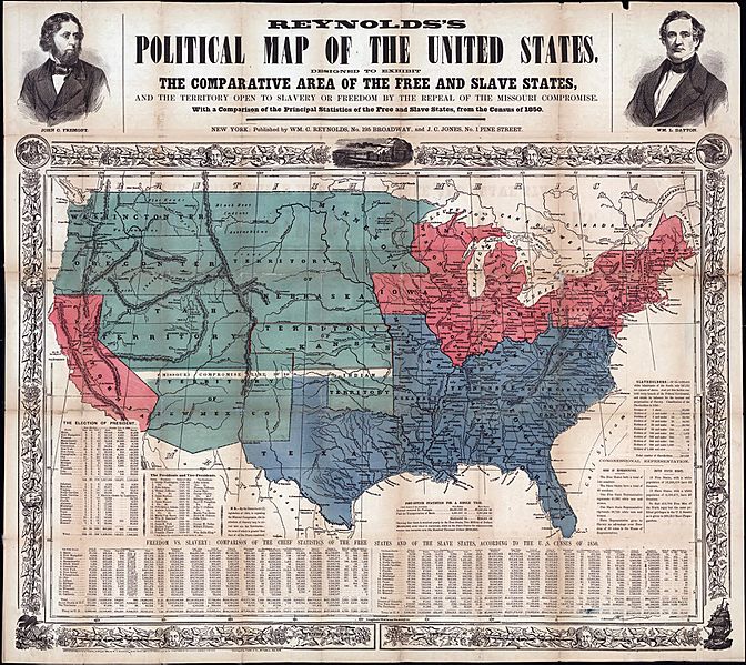
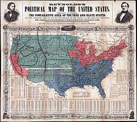
Image: Map of Free and Slave States
Description: Printed on map: "Designed to exhibit the comparative area of the free and slave states and the territory open to slavery or freedom by the repeal of the Missouri compromise. With a comparison of the principal statistics of the free and slave states, from the census of 1850." Portraits of John C. Fremont and W.L. Dayton are on map borders.
Title: Map of Free and Slave States
Credit: http://digital.lib.uh.edu/cdm4/item_viewer.php?CISOROOT=/p15195coll35&CISOPTR=28&DMSCALE=25&DMWIDTH=600&DMHEIGHT=600&DMX=0&DMY=0&DMMODE=viewer&DMTEXT=&REC=3&DMTHUMB=1&DMROTATE=0
Author: Unknown authorUnknown author
Usage Terms: Creative Commons Zero, Public Domain Dedication
License: CC0
License Link: http://creativecommons.org/publicdomain/zero/1.0/deed.en
Attribution Required?: No
Image usage
The following page links to this image:
