
Image: Map of Harvard Heights, Los Angeles, California
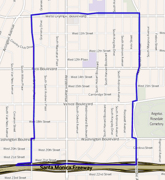
Description: Map of the Harvard Heights neighborhood in Central Los Angeles, California. As outlined by the Los Angeles Times Mapping LA Project. Other information Boundary map as drawn by the Los Angeles Times on a CC-by-SA background. Note at bottom right of map on the L.A. Times website noted above says "CC-by-SA" (which gives permission to use the map). There is a link there to http://creativecommons.org/licenses/by-sa/2.0, which explains the meaning thereof. The base map is credited to http://www.openstreetmap.org/ The Times spells all this out at http://projects.latimes.com/mapping-la/about/#the-data
Title: Map of Harvard Heights, Los Angeles, California
Credit: Transferred from en.wikipedia to Commons. (Original text: http://projects.latimes.com/mapping-la/neighborhoods/neighborhood/harvard-heights/)
Author: Los Angeles Times
Permission: http://projects.latimes.com/mapping-la/neighborhoods/neighborhood/harvard-heights/
Usage Terms: Creative Commons Attribution 2.0
License: CC BY 2.0
License Link: http://creativecommons.org/licenses/by/2.0
Attribution Required?: Yes
Image usage
The following page links to this image:
