
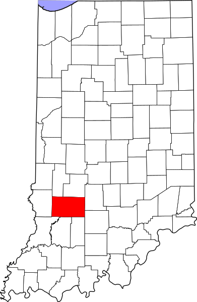
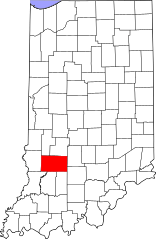
Image: Map of Indiana highlighting Greene County

Size of this PNG preview of this SVG file: 391 × 599 pixels. Other resolution: 156 × 240 pixels.
Original image (SVG file, nominally 2,887 × 4,423 pixels, file size: 56 KB)
Description: This is a locator map showing Greene County in Indiana.
Title: Map of Indiana highlighting Greene County
Credit: Own work
Author: David Benbennick made this map. For more information, see Commons:United States county locator maps.
Usage Terms: Public domain
License: Public domain
Attribution Required?: No
Image usage

All content from Kiddle encyclopedia articles (including the article images and facts) can be freely used under Attribution-ShareAlike license, unless stated otherwise.