
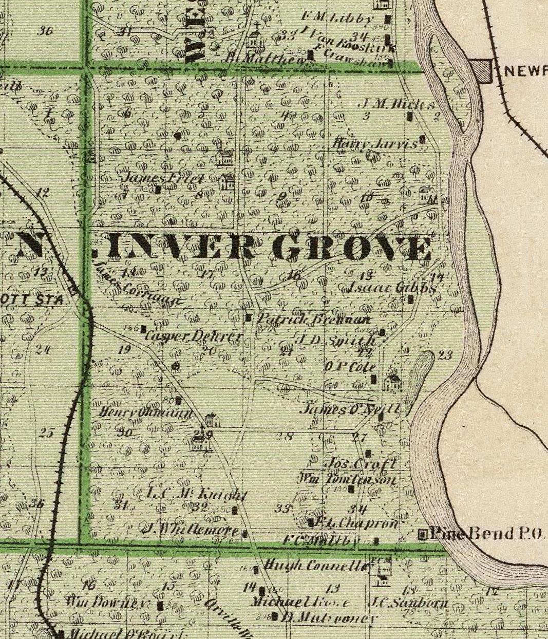
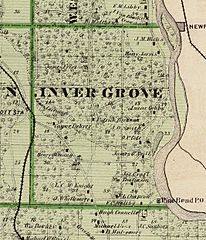
Image: Map of Inver Grove from the 1874 Minnesota State Atlas (cropped)
Size of this preview: 514 × 599 pixels. Other resolutions: 206 × 240 pixels | 1,067 × 1,244 pixels.
Original image (1,067 × 1,244 pixels, file size: 425 KB, MIME type: image/jpeg)
Description: An 1874 map of Dakota County, complete with the very northern tip ,which belongs to Ramsey County today.
Title: Map of Inver Grove from the 1874 Minnesota State Atlas (cropped)
Credit: 1874 Minnesota State Atlas
Author: A. T. Andreas
Usage Terms: Public domain
License: Public domain
Attribution Required?: No
Image usage
The following page links to this image:

All content from Kiddle encyclopedia articles (including the article images and facts) can be freely used under Attribution-ShareAlike license, unless stated otherwise.
.jpg)