
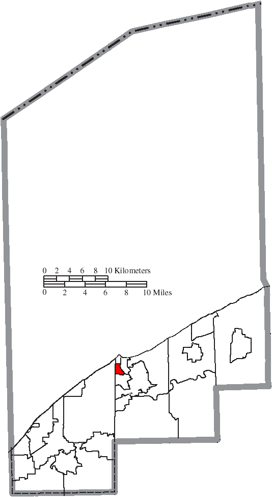
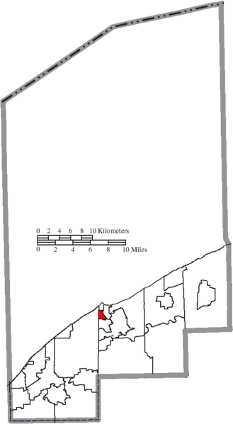
Image: Map of Lake County Ohio Highlighting Grand River Village
Description: Map of the municipal and township boundaries of Lake County, Ohio, United States, as of the 2000 census, with the location of the village of Grand River highlighted. Township borders are shown only in unincorporated areas in order to differentiate incorporated and unincorporated areas more clearly.
Title: Map of Lake County Ohio Highlighting Grand River Village
Credit: File:Map of Lake County Ohio With Municipal and Township Labels.PNG
Author: Ruhrfisch and Nyttend
Permission: This file is licensed under the Creative Commons Attribution-Share Alike 3.0 Unported license. You are free: to share – to copy, distribute and transmit the work to remix – to adapt the work Under the following conditions: attribution – You must give appropriate credit, provide a link to the license, and indicate if changes were made. You may do so in any reasonable manner, but not in any way that suggests the licensor endorses you or your use. share alike – If you remix, transform, or build upon the material, you must distribute your contributions under the same or compatible license as the original. https://creativecommons.org/licenses/by-sa/3.0 CC BY-SA 3.0 Creative Commons Attribution-Share Alike 3.0 truetrue
Usage Terms: Creative Commons Attribution-Share Alike 3.0
License: CC BY-SA 3.0
License Link: https://creativecommons.org/licenses/by-sa/3.0
Attribution Required?: Yes
Image usage
The following page links to this image:
