
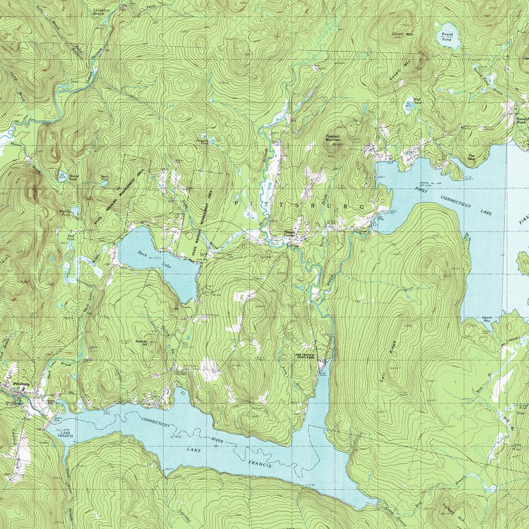
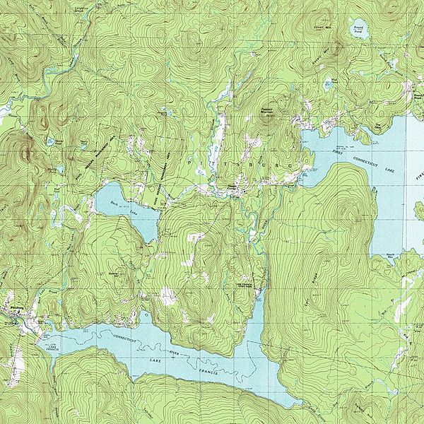
Image: Map of Lake Francis in Coos County, New Hampshire
Size of this preview: 600 × 600 pixels. Other resolutions: 240 × 240 pixels | 768 × 768 pixels.
Original image (768 × 768 pixels, file size: 228 KB, MIME type: image/jpeg)
Description: Topographical map of Lake Francis, a reservoir on the Connecticut River in northern New Hampshire, United States. The lake is located in Coos County, east of the village of Pittsburg and along the boundary between the towns of Pittsburg and Clarksville.
Title: Map of Lake Francis in Coos County, New Hampshire
Credit: https://www.topoquest.com/map.php?lat=45.07991&lon=-71.32052&datum=nad27&zoom=16&map=auto&coord=d&mode=zoomin&size=m
Author: United States Geological Survey
Usage Terms: Public domain
License: PD
Attribution Required?: No
Image usage
The following page links to this image:

All content from Kiddle encyclopedia articles (including the article images and facts) can be freely used under Attribution-ShareAlike license, unless stated otherwise.