
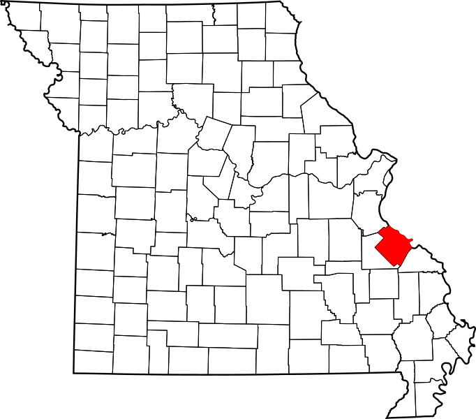
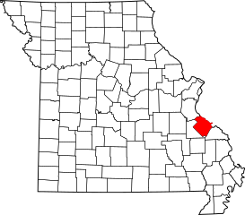
Image: Map of Missouri highlighting Sainte Genevieve County

Size of this PNG preview of this SVG file: 682 × 600 pixels. Other resolution: 273 × 240 pixels.
Original image (SVG file, nominally 5,812 × 5,110 pixels, file size: 112 KB)
Title: Map of Missouri highlighting Ste. Genevieve County
Usage Terms: Public domain
License: Public domain
Attribution Required?: No
Image usage
The following image is a duplicate of this image (more details):
The following 20 pages link to this image:
- Avon, Missouri
- Brickey's, Missouri
- Clearwater, Missouri
- Clement, Missouri
- Coffman, Missouri
- Kinsey, Missouri
- Lawrenceton, Missouri
- Millers, Missouri
- Minnith, Missouri
- Mosher, Missouri
- Needmore, Ste
- Needmore, Ste. Genevieve County, Missouri
- New Bourbon, Missouri
- Ozora, Missouri
- Sprott, Missouri
- Thomure, Missouri
- Zell, Missouri
- Template:Buildings and Structures of Ste. Genevieve County, Missouri
- Template:Geographical features of Ste. Genevieve County, Missouri
- Template:Sainte Genevieve County, Missouri

All content from Kiddle encyclopedia articles (including the article images and facts) can be freely used under Attribution-ShareAlike license, unless stated otherwise.