
Image: Map of North America with the Western Interior Seaway during the Campanian (Upper Cretaceous)
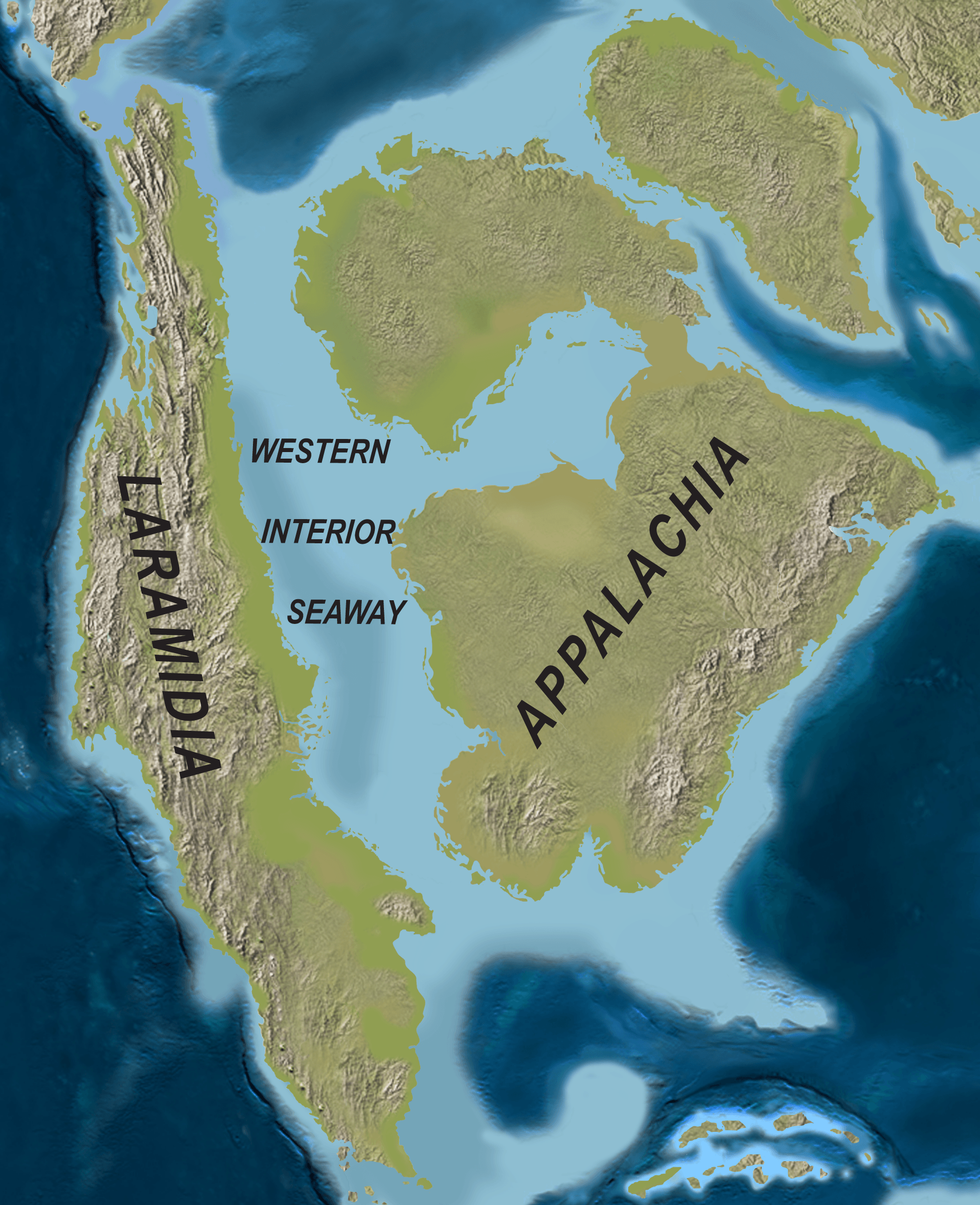
Description: Map of North America with the Western Interior Seaway during the Campanian (Upper Cretaceous). Paleogeography of North America during the late Campanian Stage of the Late Cretaceous (∼75 Ma). Modified after Blakey.
Title: Map of North America with the Western Interior Seaway during the Campanian (Upper Cretaceous)
Credit: http://www.plosone.org/article/info%3Adoi%2F10.1371%2Fjournal.pone.0012292
Author: Scott D. Sampson, Mark A. Loewen, Andrew A. Farke, Eric M. Roberts, Catherine A. Forster, Joshua A. Smith, Alan L. Titus
Permission: http://www.plosbiology.org/static/license.action
Usage Terms: Creative Commons Attribution 4.0
License: CC BY 4.0
License Link: https://creativecommons.org/licenses/by/4.0
Attribution Required?: Yes
Image usage
The following 5 pages link to this image:

.png)