
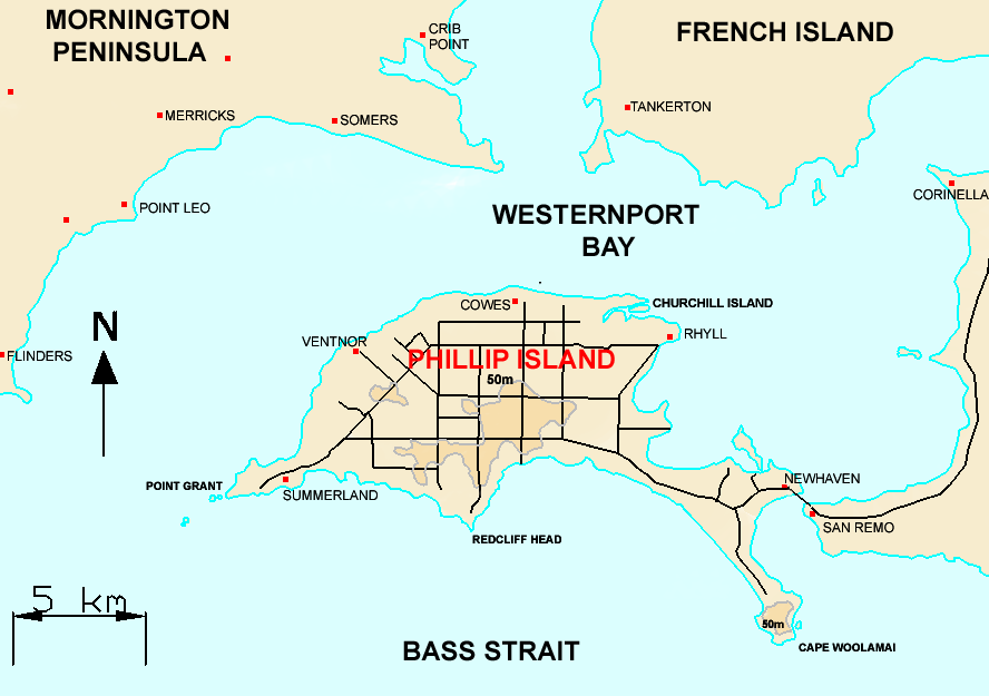
Image: Map of Phillip Island, Victoria
Size of this preview: 800 × 563 pixels. Other resolutions: 320 × 225 pixels | 888 × 625 pixels.
Original image (888 × 625 pixels, file size: 55 KB, MIME type: image/png)
Description: Map of Phillip Island, Victoria
Title: Map of Phillip Island, Victoria
Credit: Original Uploader was Lentisco (talk) at 04:05, 7 August 2006.
Author: Lentisco
Usage Terms: Public domain
License: Public domain
Attribution Required?: No
Image usage
The following 2 pages link to this image:

All content from Kiddle encyclopedia articles (including the article images and facts) can be freely used under Attribution-ShareAlike license, unless stated otherwise.