
Image: Map of Richmond 1864 small
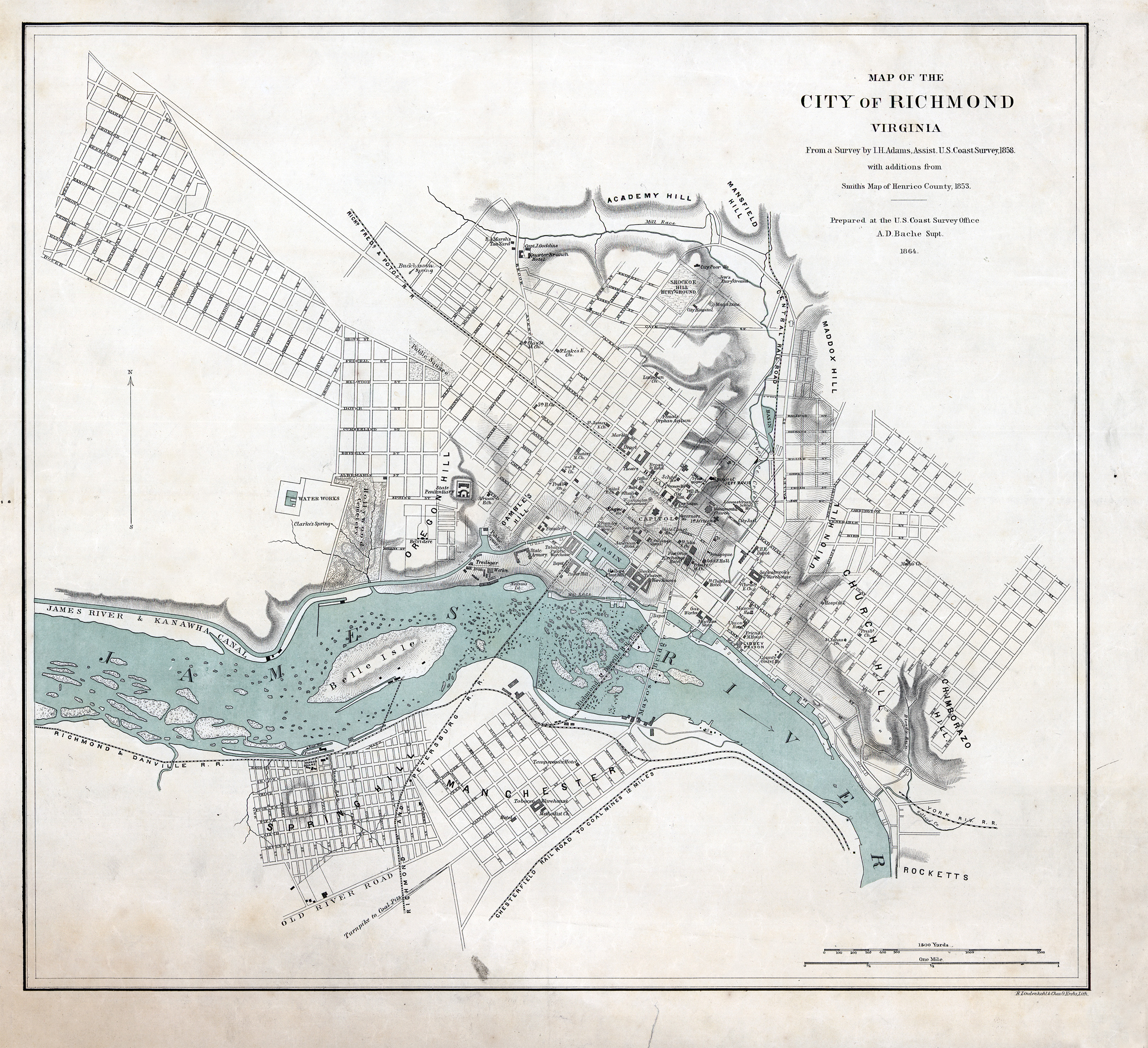
Description: Map of the City of Richmond, Virginia. From a Survey by I.H. Adams, Assist. U.S. Coast Survey, 1858, with additions from Smith's Map of Henrico County, 1853. Prepared at the U.S. Coast Survey Office, A.D. Bache Supt. 1864. Scale ca. 1:13,350.
Title: Map of Richmond 1864 small
Credit: This map is available from the United States Library of Congress's Geography & Map Division under the digital ID g3884r.cw0645500. This tag does not indicate the copyright status of the attached work. A normal copyright tag is still required. See Commons:Licensing for more information. العربية | čeština | Deutsch | English | español | فارسی | suomi | français | magyar | italiano | македонски | മലയാളം | Nederlands | polski | português | русский | slovenčina | slovenščina | Türkçe | українська | 中文 | 中文(简体) | 中文(繁體) | +/− Library of Congress http://www.loc.gov/item/99448334/
Author: United States Coast Survey, Alexander Dallas Bache Supt.
Usage Terms: Public domain
License: Public domain
Attribution Required?: No
Image usage
The following page links to this image:
