
Image: Map of Sonoma County 1884
Size of this preview: 700 × 600 pixels. Other resolutions: 280 × 240 pixels | 2,587 × 2,217 pixels.
Original image (2,587 × 2,217 pixels, file size: 1.21 MB, MIME type: image/jpeg)
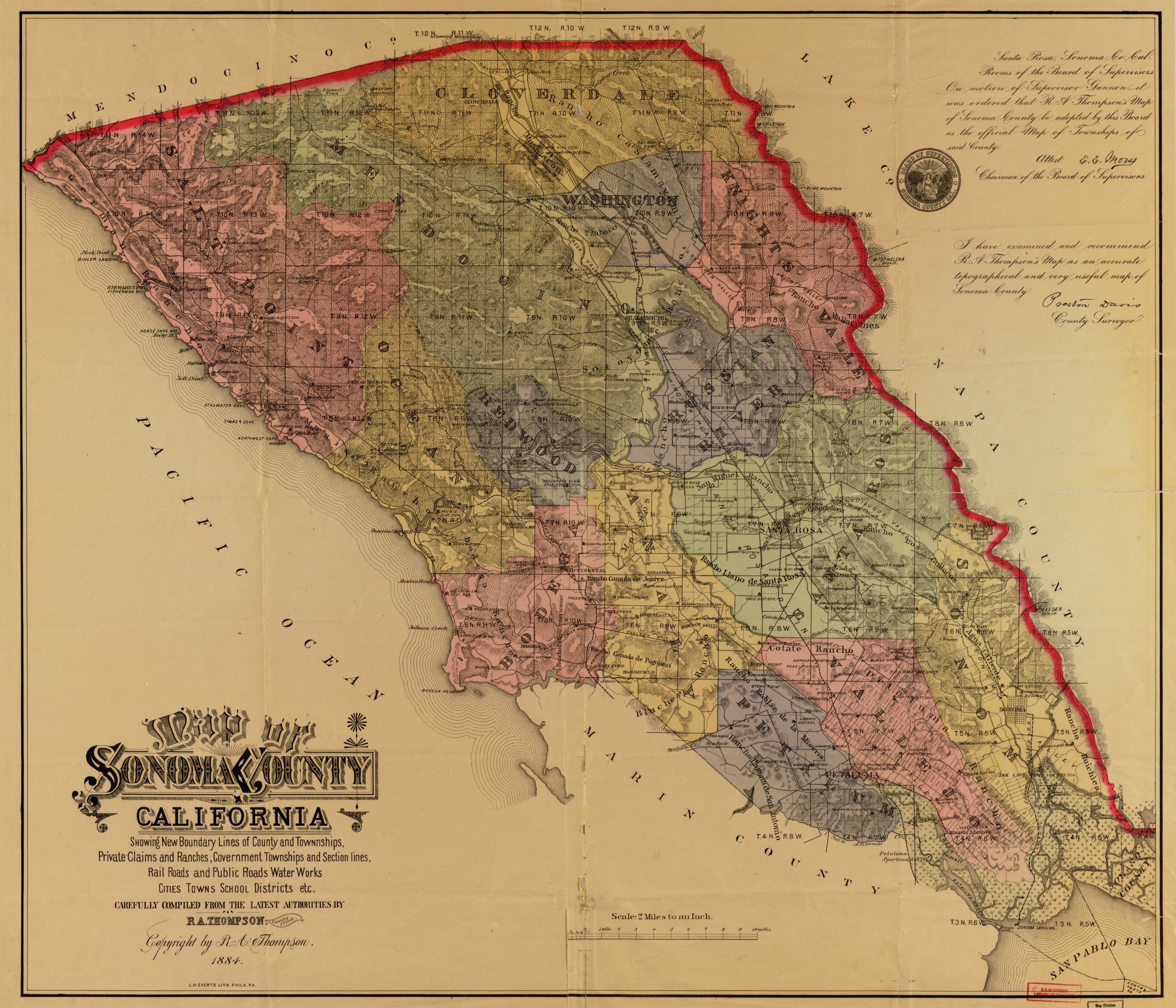
Description: Map of Sonoma County, California, 1884, showing civil townships
Title: Map of Sonoma County 1884
Credit: Library of Congress Geography and Map Division Washington, D.C. 20540-4650 USA dcu http://hdl.loc.gov/loc.gmd/g4363s.ct002959
Author: Thompson, R. A., Sonoma County Clerk, California, USA
Usage Terms: Public domain
License: Public domain
Attribution Required?: No
Image usage
The following page links to this image:

All content from Kiddle encyclopedia articles (including the article images and facts) can be freely used under Attribution-ShareAlike license, unless stated otherwise.