
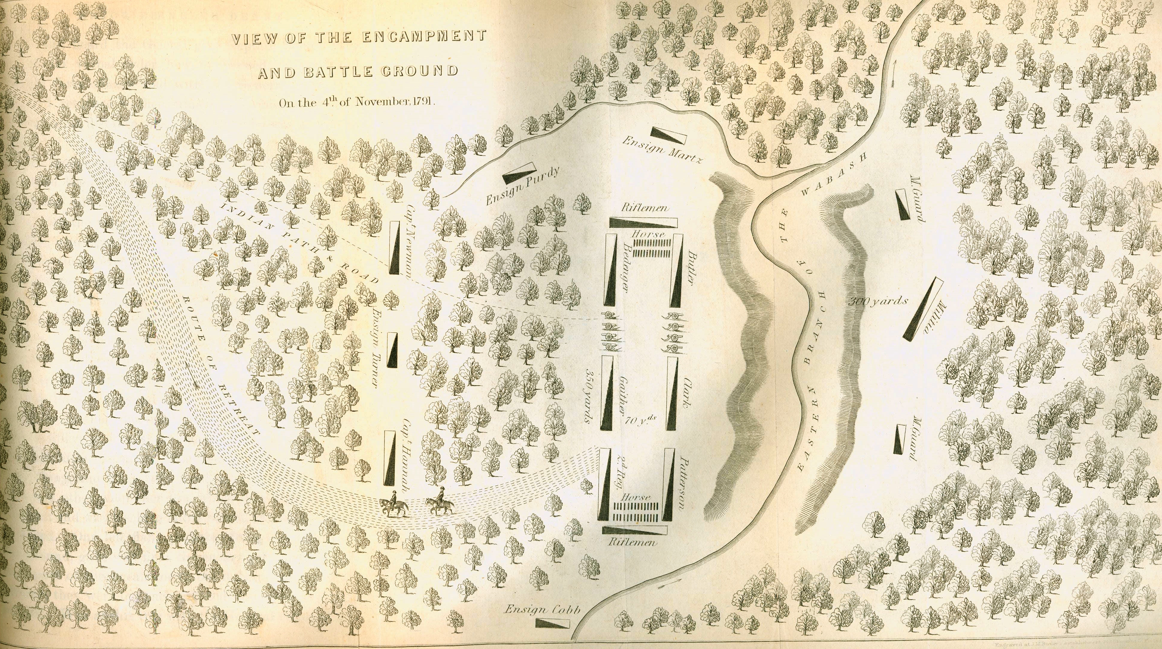
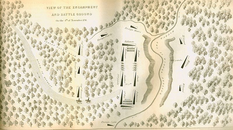
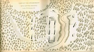
Image: Map of St. Clair's Encampment
Size of this preview: 800 × 447 pixels. Other resolutions: 320 × 179 pixels | 3,880 × 2,168 pixels.
Original image (3,880 × 2,168 pixels, file size: 4.13 MB, MIME type: image/jpeg)
Description: Map of St. Clair's Encampment and Retreat, 4 November 1791
Title: Map of St. Clair's Encampment
Credit: http://www.army.mil/media/220062
Author: Unknown authorUnknown author
Usage Terms: Public domain
License: Public domain
Attribution Required?: No
Image usage
The following page links to this image:

All content from Kiddle encyclopedia articles (including the article images and facts) can be freely used under Attribution-ShareAlike license, unless stated otherwise.