
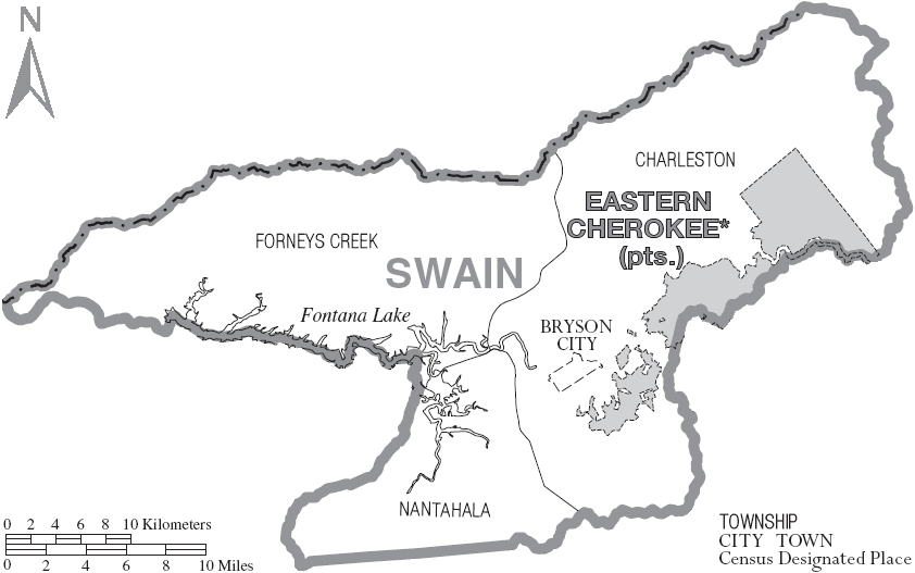
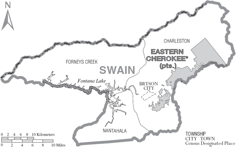
Image: Map of Swain County North Carolina With Municipal and Township Labels
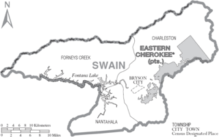
Size of this preview: 800 × 501 pixels. Other resolutions: 320 × 200 pixels | 842 × 527 pixels.
Original image (842 × 527 pixels, file size: 60 KB, MIME type: image/png)
Description: Map of Swain County, North Carolina, United States with township and municipal boundaries
Title: Map of Swain County North Carolina With Municipal and Township Labels
Credit: taken from US Census website [1] and modified by User:Ruhrfisch
Author: US Census, Ruhrfisch
Permission: US Census / US Government work is public domain, my modifications licensed under the GNU Free Documentation License
Usage Terms: Public domain
License: Public domain
Attribution Required?: No
Image usage
The following page links to this image:

All content from Kiddle encyclopedia articles (including the article images and facts) can be freely used under Attribution-ShareAlike license, unless stated otherwise.