
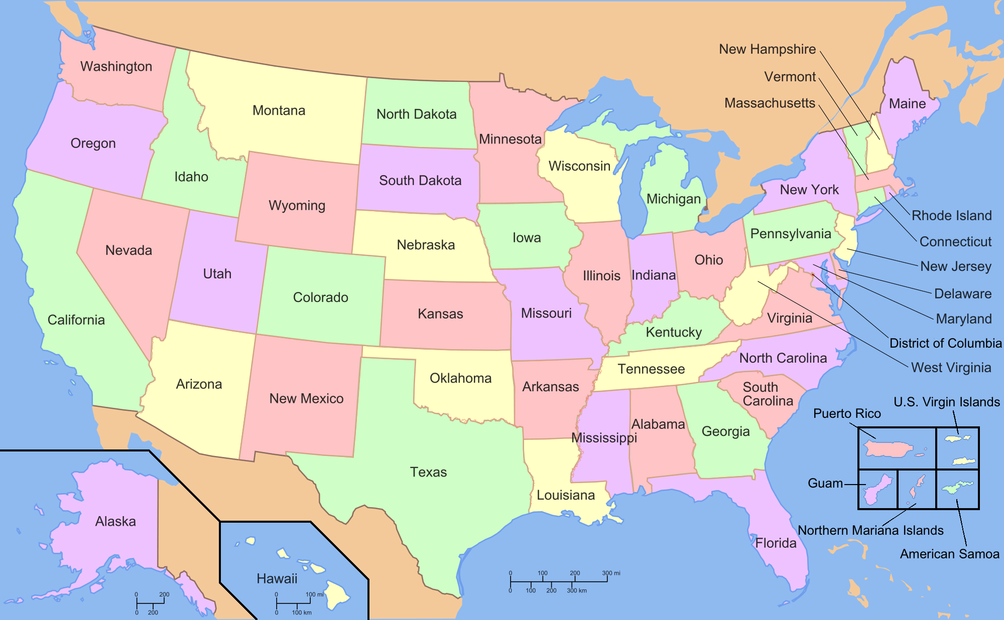
Image: Map of USA with state and territory names 2
Size of this preview: 800 × 494 pixels. Other resolutions: 320 × 198 pixels | 2,000 × 1,236 pixels.
Original image (2,000 × 1,236 pixels, file size: 170 KB, MIME type: image/png)
Description: Map of the United States — the 50 states, the District of Columbia, and the 5 major territories
Title: Map of USA with state and territory names 2
Credit: File:Map_of_USA_with_state_names_2.svg
Author: User:Wapcaplet, edited by User:Ed g2s, User:Dbenbenn
Usage Terms: Creative Commons Attribution-Share Alike 3.0
License: CC BY-SA 3.0
License Link: https://creativecommons.org/licenses/by-sa/3.0
Attribution Required?: Yes
Image usage
The following 2 pages link to this image:

All content from Kiddle encyclopedia articles (including the article images and facts) can be freely used under Attribution-ShareAlike license, unless stated otherwise.