
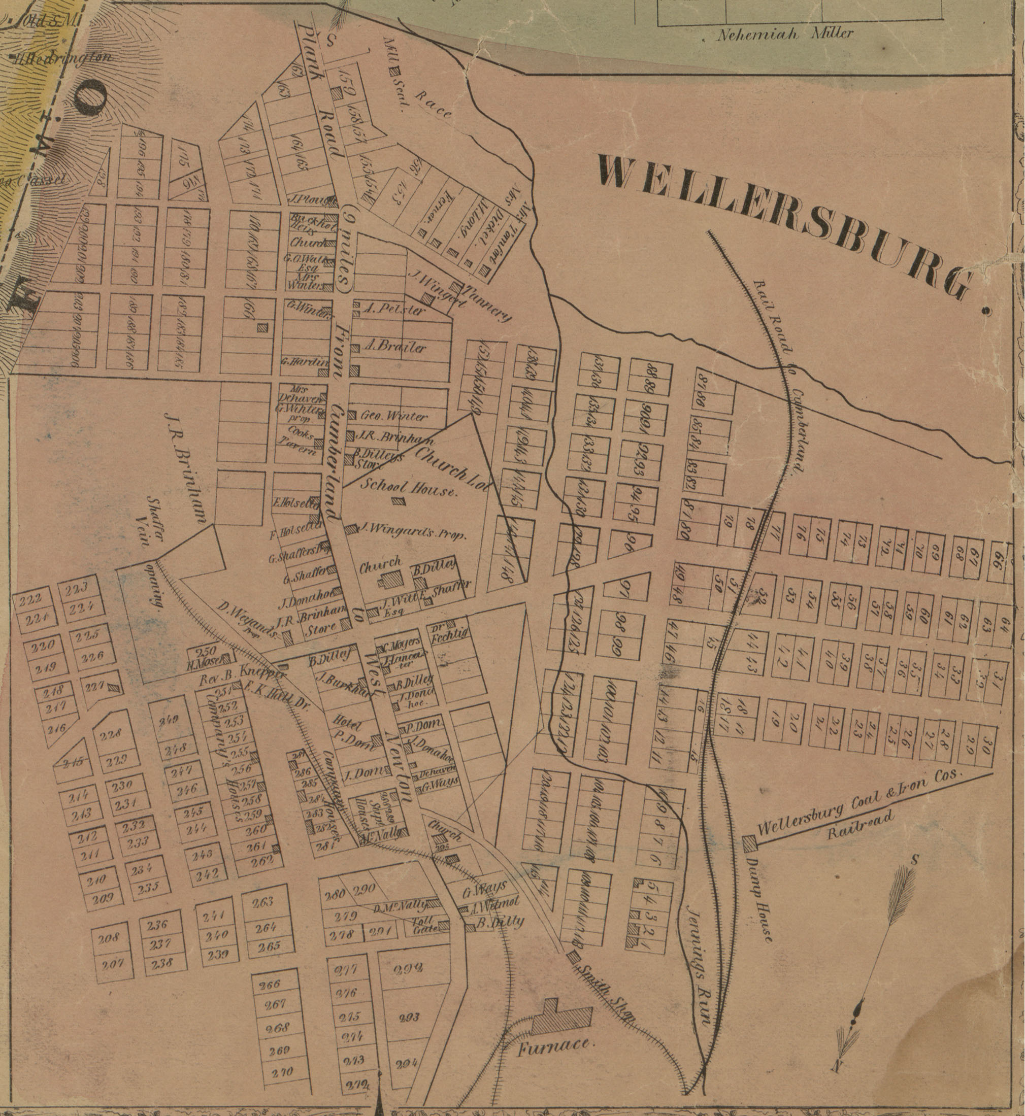
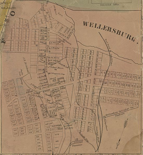
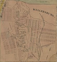
Image: Map of Wellersburg from 1860 Somerset County, Pennsylvania, Map by Edward L Walker
Size of this preview: 550 × 599 pixels. Other resolutions: 220 × 240 pixels | 2,019 × 2,199 pixels.
Original image (2,019 × 2,199 pixels, file size: 753 KB, MIME type: image/jpeg)
Description: Map of Wellersburg taken from 1860 Edward L. Walker map of Somerset County, Pennsylvania, available at the Library of Congress website
Title: Map of Wellersburg from 1860 Somerset County, Pennsylvania, Map by Edward L Walker
Credit: https://www.loc.gov/item/2012592183/
Author: Edward L. Walker
Usage Terms: Public domain
License: Public domain
Attribution Required?: No
Image usage
The following page links to this image:

All content from Kiddle encyclopedia articles (including the article images and facts) can be freely used under Attribution-ShareAlike license, unless stated otherwise.