
Image: Map of canals of the United Kingdom

Size of this preview: 541 × 600 pixels. Other resolutions: 216 × 240 pixels | 625 × 693 pixels.
Original image (625 × 693 pixels, file size: 478 KB, MIME type: image/png)
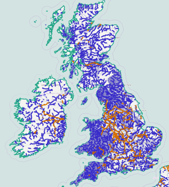
Description: Showing Canals of the United Kingdom and Ireland in orange and also rivers in blue and streams in grey.
Title: Map of canals of the United Kingdom
Credit: slippy map view [dead link]
Author: PeterEastern (talk) using data from OpenStreetMap and contributors
Usage Terms: Creative Commons Attribution-Share Alike 3.0
License: CC BY-SA 3.0
License Link: https://creativecommons.org/licenses/by-sa/3.0
Attribution Required?: Yes
Image usage
The following 4 pages link to this image:

All content from Kiddle encyclopedia articles (including the article images and facts) can be freely used under Attribution-ShareAlike license, unless stated otherwise.