
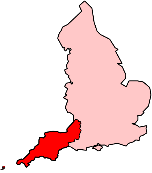
Image: Map of south-west England shown within England (Met Office region)

Description: A map of south-west England as defined by the Met Office when describing the climate of south-west England. The counties included are: Cornwall, Devon, Somerset, North Somerset, Bath and North East Somerset, South Gloucestershire and the City of Bristol. The Isles of Scilly are also included in the region.
Title: Map of south-west England shown within England (Met Office region)
Credit: File:BlankMap-EnglandSubdivisions.svg (a vectorised version of File:BlankMap-EnglandSubdivisions.png) and the Isles of Scilly were taken from File:H1N1 United Kingdom Map - Region 2.svg. They were all merged and modified on Inkscape.
Author: AxG (H1N1 United Kingdom Map - Region 2.svg) Morwen (BlankMap-EnglandSubdivisions.png) Kanguole (BlankMap-EnglandSubdivisions.svg) All merged and edited to make this map by Jolly Janner
Usage Terms: Creative Commons Attribution-Share Alike 3.0
License: CC-BY-SA-3.0
License Link: http://creativecommons.org/licenses/by-sa/3.0/
Attribution Required?: Yes
Image usage
The following page links to this image:

.svg)