
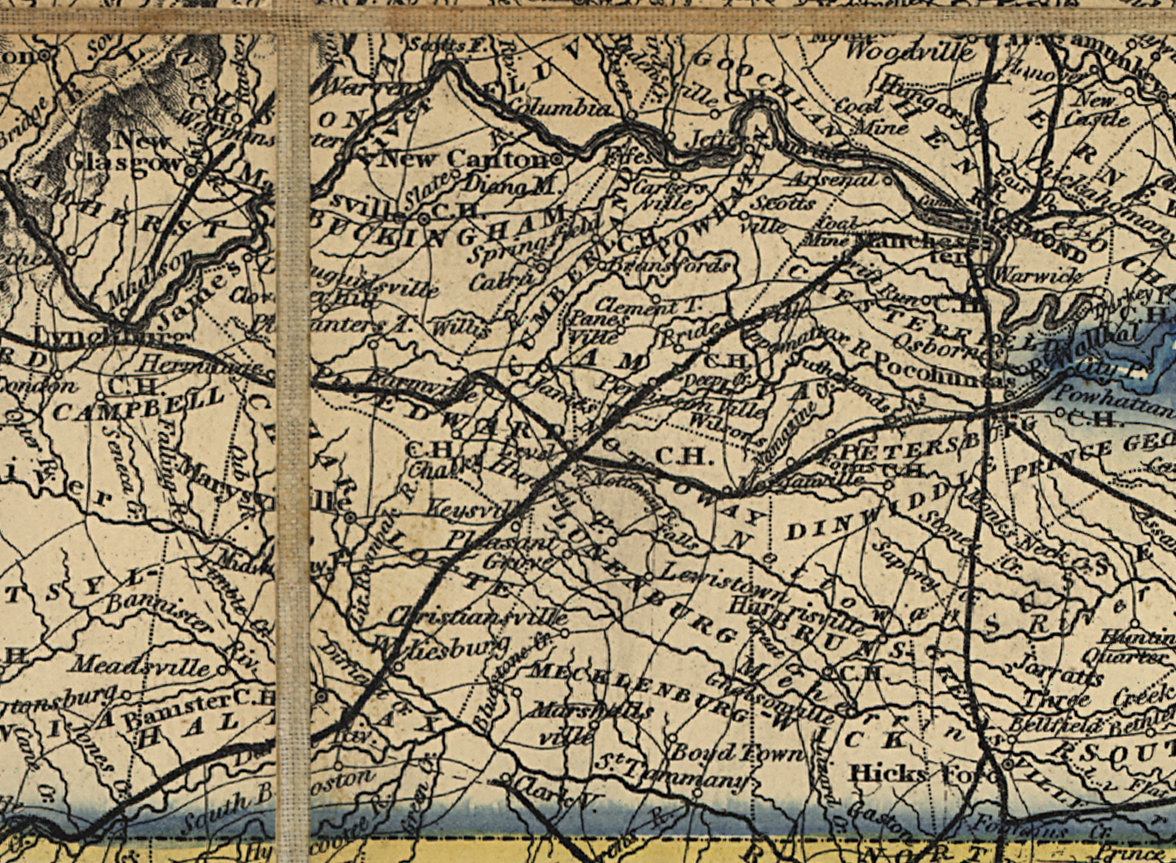
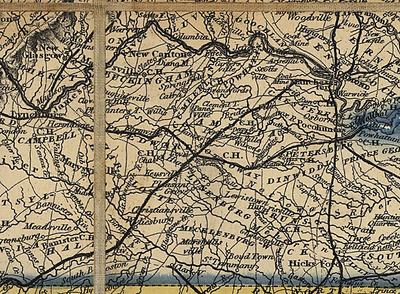
Image: Map of the Southern States of North America - Cropped to show the Southern Railroad
Size of this preview: 800 × 587 pixels. Other resolutions: 320 × 235 pixels | 1,176 × 863 pixels.
Original image (1,176 × 863 pixels, file size: 487 KB, MIME type: image/jpeg)
Description: Map of the Southern States of North America, cropped to show the Southern Railroad.
Title: Map of the Southern States of North America - Cropped to show the Southern Railroad
Credit: This image is available from the United States Library of Congress's Prints and Photographs division under the digital ID g3860.cw0036500. This tag does not indicate the copyright status of the attached work. A normal copyright tag is still required. See Commons:Licensing for more information.
Author: Wyld, James, 1812-1887.
Usage Terms: Public domain
License: Public domain
Attribution Required?: No
Image usage
The following page links to this image:

All content from Kiddle encyclopedia articles (including the article images and facts) can be freely used under Attribution-ShareAlike license, unless stated otherwise.