
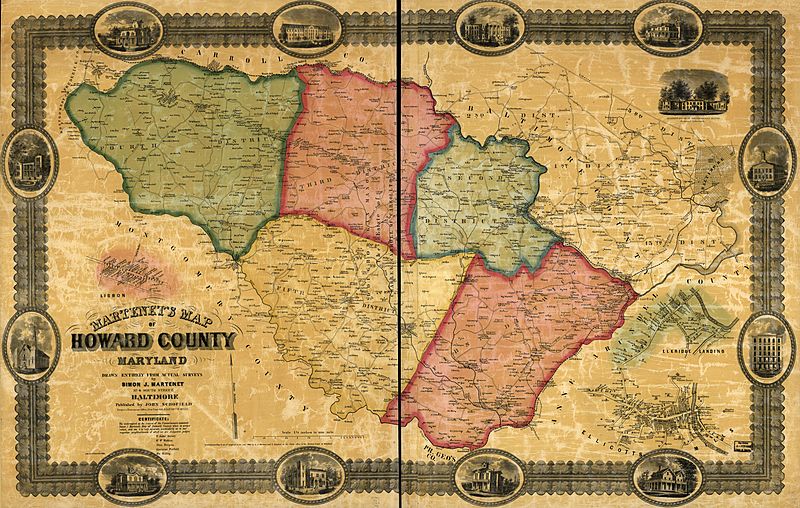
Image: Martenet's Map of Howard County, Maryland - drawn entirely from actual surveys LOC 2002624032

Description: Landowners identified. LC Land ownership maps, 296 Includes illus. and 3 insets. Available also through the Library of Congress Web site as a raster image.
Title: Martenet's Map of Howard County, Maryland - drawn entirely from actual surveys LOC 2002624032
Credit: https://www.loc.gov/item/2002624032/
Author: Martenet, Simon J.
Permission: This map is available from the United States Library of Congress's Geography & Map Division under the digital ID g3843h.la000296. This tag does not indicate the copyright status of the attached work. A normal copyright tag is still required. See Commons:Licensing for more information.
Usage Terms: Public domain
License: Public domain
Attribution Required?: No
Image usage
The following page links to this image:
